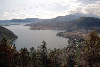
Lake Amatitlán, Volcanic crater lake near Guatemala City, Guatemala
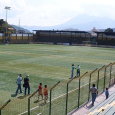
Lake Amatitlán is a volcanic crater lake near Guatemala City with two distinct basins connected by a narrow channel, stretching about 11 kilometers long and 3 kilometers wide. The lake sits at about 1,186 meters elevation in the region's highland setting.
The lake formed from volcanic activity in Guatemala's central highlands, creating a caldera that gradually filled with water over geological time. This volcanic origin continues to influence the landscape and surrounding communities today.
The name comes from the Pipil language, where 'amatl' means letter and 'titlan' means mail, reflecting indigenous heritage in the region. This linguistic connection shows how the original inhabitants' words remain embedded in the place name today.
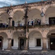
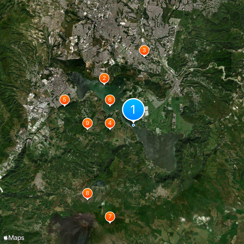
The lake is surrounded by four municipalities and serves water supply, irrigation, and industrial needs while supporting fishing communities around it. Visitors can access the shoreline from various points, though conditions vary depending on location and season.
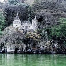
The lake contains natural phenomena such as sulfurous hot springs and periodic geysers due to ongoing volcanic activity in the surrounding area. These geothermal features make it a notable example of active volcanic processes in the region.
Location: Amatitlán
Location: San Miguel Petapa
Location: Villa Canales
Location: Villa Nueva
Elevation above the sea: 1,186 m
GPS coordinates: 14.45270,-90.56590
Latest update: December 20, 2025 02:41
Guatemala offers photographers a mix of pre-Columbian sites, volcanic landscapes, and colonial buildings. The geography ranges from highland towns to rainforests and coastal areas along the Pacific and Caribbean. Ancient Maya temples stand alongside Spanish-era churches, while indigenous markets and...
Castillo de Dorión
4 km
Estadio Municipal de San Miguel Petapa
5.5 kmCerro La Montaña (bolkan)
1.9 kmCerro La Mariposa
5.7 kmCerro Mal Paso (bolkan)
2.4 kmCerro Grande (bolkan sa Guatemala, Departamento de Guatemala)
7.9 kmCerro Chino (bolkan sa Guatemala, Departamento de Escuintla)
6.9 kmCerro Limón (bolkan)
3.7 km
Templo Josué Asambleas de Dios
8.1 kmIrtra de Amatitlan
4.5 kmPacaya
8 kmAtajo volcán Pacaya
8.2 kmAntenas camimo al volcán Pacaya
8.2 kmTuricentro El Paraiso
7 kmMayan Golf Club
4.5 kmMayan Golf Club
4.7 kmPila Seca
8.7 kmScenic viewpoint
6.5 kmParque
8.7 kmPacaya
7.9 kmMirador Laguna de Calderas
7.3 kmPrimer mirador Cerro chino
8.3 kmMirador 2 cerro chino
8.5 kmScenic viewpoint
7.1 kmMirador Fátima
7.4 kmScenic viewpoint
4.4 kmScenic viewpoint
4.3 kmScenic viewpoint
3.8 kmVisited this place? Tap the stars to rate it and share your experience / photos with the community! Try now! You can cancel it anytime.
Discover hidden gems everywhere you go!
From secret cafés to breathtaking viewpoints, skip the crowded tourist spots and find places that match your style. Our app makes it easy with voice search, smart filtering, route optimization, and insider tips from travelers worldwide. Download now for the complete mobile experience.
A unique approach to discovering new places❞
— Le Figaro
All the places worth exploring❞
— France Info
A tailor-made excursion in just a few clicks❞
— 20 Minutes