Enable Location

We need your location to show you interesting places around you

Discover nearby places

Find interesting locations and hidden gems around you

Precise directions

Get accurate directions and distances to places

Your location is never shared with other users. It's only used when you tap the location button.

Honduras–Nicaragua border

Log in to your account

Start exploring — it's free

Trusted by 68,257 travelers worldwide

Continue with Google
Continue with Apple
or

We will send you a code to connect

By continuing, you accept our Terms and Conditions and our Privacy Policy

Check your inbox

We've sent a pincode in your inbox. Please enter the code below.

Honduras–Nicaragua border
Discussion Reviews 1 Photos
25.1k Popularity

Honduras–Nicaragua border, International boundary in Central America.

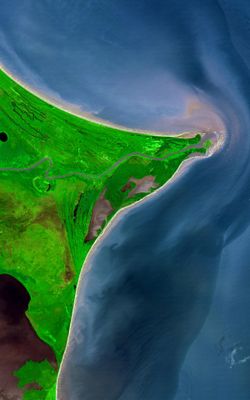
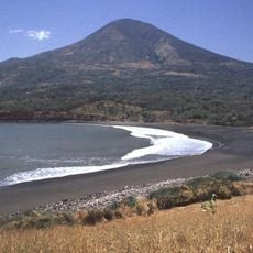
The Honduras-Nicaragua border stretches roughly 950 kilometers from the Pacific coast to the Caribbean, running through mountains, valleys, and along river systems. It divides two countries that share similar geography and cultural roots across this long international line.

When the Central American Federation broke apart between 1823 and 1838, Honduras and Nicaragua established the borders that still exist today. This division was based on older colonial lines and natural features like rivers.

People on both sides of the border speak related indigenous languages and celebrate festivals that connect their communities across the line. You can see this shared heritage reflected in local cooking styles and family traditions that continue on both sides.

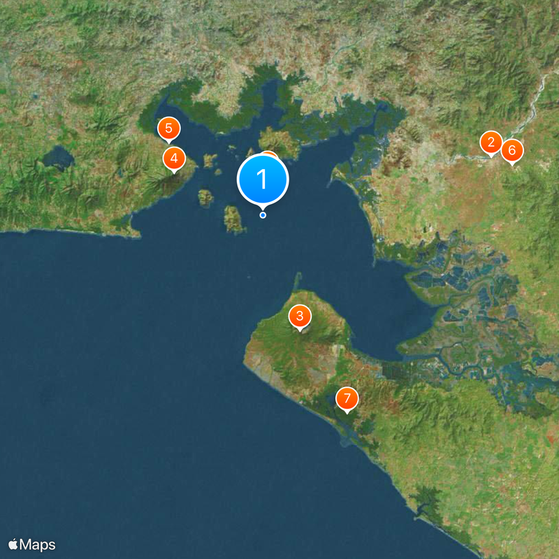
You can cross at official checkpoints in Guasaule, El Espino, and Trojes, where you will go through immigration and customs checks. It helps to check opening hours ahead of time, as schedules can vary by location and season.

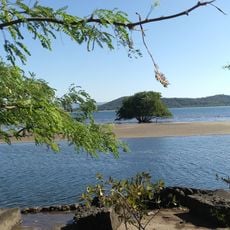
The Coco River makes up more than half of the border and creates a natural water boundary between the two countries. This river system supports wildlife and plant life found nowhere else in the region.

The community of curious travelers

AroundUs brings together thousands of curated places, local tips, and hidden gems, enriched daily by 60,000 contributors worldwide.

Start exploring
Part of
borders of Honduras, frontières du Nicaragua
GPS coordinates
13.19528,-87.65056
Latest update
December 20, 2025 11:42
Reviews
Share your experience

No review yet

Discussions
Start a discussion...

No discussion yet

« Honduras–Nicaragua border - International boundary in Central America » is provided by Around Us (aroundus.com). Images and texts are derived from Wikimedia project under a Creative Commons license. You are allowed to copy, distribute, and modify copies of this page, under the conditions set by the license, as long as this note is clearly visible.

Discover hidden gems everywhere you go!

From secret cafés to breathtaking viewpoints, skip the crowded tourist spots and find places that match your style. Our app makes it easy with voice search, smart filtering, route optimization, and insider tips from travelers worldwide. Download now for the complete mobile experience.

Around Us App Screenshot

A unique approach to discovering new places

Le Figaro

All the places worth exploring

France Info

A tailor-made excursion in just a few clicks

20 Minutes

Around Us
Travel Guide & Maps
Download

Send to your phone

QR Code
1

Open the camera app on your mobile.

2

Point at the QR code with your camera. A notification will appear.

3

Tap the notification to open the link.