Cosigüina, Stratovolcano in Chinandega, Nicaragua
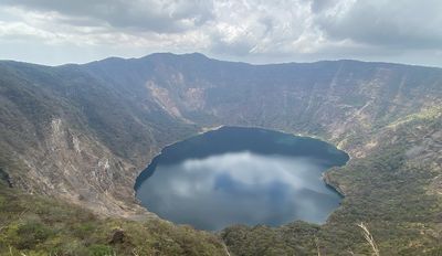
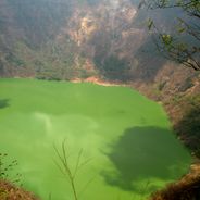
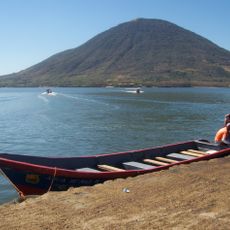
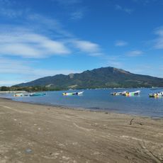
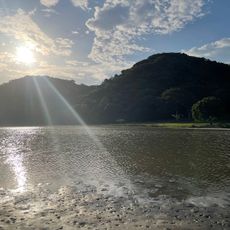
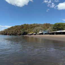
Cosigüina is a stratovolcano in Chinandega that rises to about 859 meters and features a wide crater holding a freshwater lagoon at its center. The volcanic slopes are covered with vegetation and reveal the layered rock structure typical of these cone-shaped mountains.
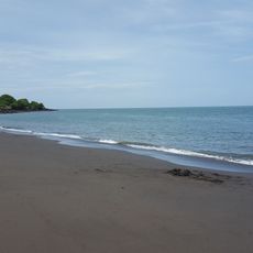
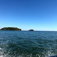
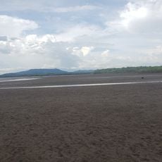
The volcano's most powerful eruption happened in 1835, when ash reached as far as Mexico City. This event reshaped the coastline of the Gulf of Fonseca by creating new islands in the water.
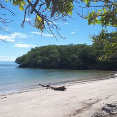
The name comes from indigenous languages spoken in this region, showing the deep roots of original peoples in the area. Walking the slopes today, you notice local plants and vegetation patterns that locals have worked with for centuries.
The area is easiest to visit between November and April when trails are in the best condition. You should bring plenty of water and proper hiking gear since the climb is demanding.
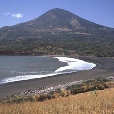
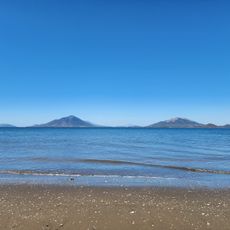
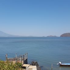
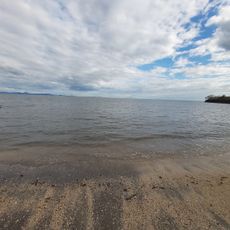
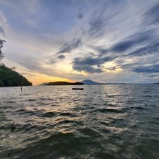
On clear days from the summit, you can see three countries at once: Nicaragua, Honduras, and El Salvador stretching across the Gulf of Fonseca. This is one of the rare spots in Central America where such a view spans multiple borders.
Location: El Viejo
Location: Chinandega Department
Elevation above the sea: 872 m
Address: Cosiguina Volcano, Nicaragua
GPS coordinates: 12.97095,-87.57650
Latest update: December 6, 2025 16:04
Nicaragua offers a diverse and lively nature. You will see still-smoking volcanoes, beaches stretching from the Pacific to the Caribbean, and tropical islands sitting on volcanic lakes. The country also has large natural reserves with thick forests and mangroves along the coasts. Everywhere, paths...
Choluteca Bridge
56.4 km
Volcán de Conchagua
44 km
PARQUE DE LA FAMILIA
49.9 km
Estadio Emilio Williams Agasse
58.7 km
Estero Padre Ramos Natural Reserve
20.6 km
Isla del Tigre Lighthouse
34.2 km
Playa Negra
32.3 km
Playa Grande (lapyahan sa Honduras)
34.7 km
Playa El Burro
36.2 km
Playa Blanca
38.1 km
Playona de Exposición
39.7 km
Playa de Ratón
37.5 km
Playa Brava (lapyahan sa Honduras, Departamento de Valle, lat 13,25, long -87,62)
31.9 km
Playa Boca de Río Viejo
30.4 km
Playa El Cedro (lapyahan, lat 13,29, long -87,66)
36.6 km
Playas El Carretal
32.3 km
Playa Gualorita
35.9 km
Playa de La Menuda
40.2 km
Las Playas de Cedeño
28.7 km
Playa del Papayal
40.7 km
Playa del Muerto
38.4 km
Playa del Coyol
39.5 km
Playa Secundino
37.5 km
Playa Caracol (lapyahan sa Honduras)
35.4 km
Playa El Tamarindo
44.5 km
Playa El Zapote
34.5 km
Estero de Aserradores
46.5 km
Punta Condega
21.5 kmVisited this place? Tap the stars to rate it and share your experience / photos with the community! Try now! You can cancel it anytime.
Discover hidden gems everywhere you go!
From secret cafés to breathtaking viewpoints, skip the crowded tourist spots and find places that match your style. Our app makes it easy with voice search, smart filtering, route optimization, and insider tips from travelers worldwide. Download now for the complete mobile experience.
A unique approach to discovering new places❞
— Le Figaro
All the places worth exploring❞
— France Info
A tailor-made excursion in just a few clicks❞
— 20 Minutes