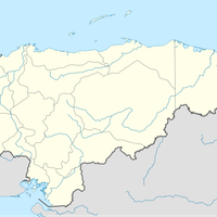
Choluteca Department, Administrative department in southern Honduras
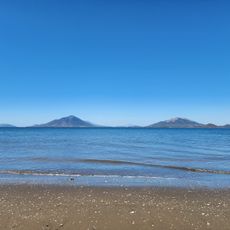
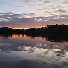
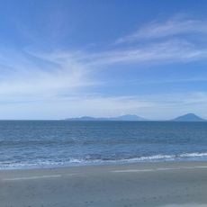
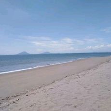
Choluteca Department is an administrative region in southern Honduras that spans across the landscape and comprises numerous municipalities. It borders Francisco Morazán and El Paraíso departments, Nicaragua to the south, and the Gulf of Fonseca to the west.
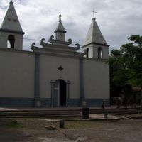
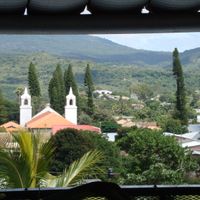
The department was created in 1825 following Honduras' independence from Spanish colonial rule, becoming one of the first seven administrative divisions established in the newly formed nation. It developed as a key administrative center from its earliest years.
The Chorotega people established trading networks across this region that connected communities from Mexico through Guatemala into Nicaragua. These commercial relationships shaped how settlements organized themselves and how goods moved through the territory.
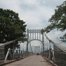
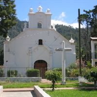
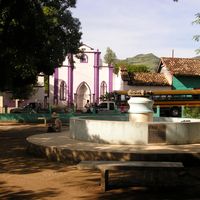
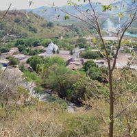
The region is divided into sixteen municipalities managed from the capital city of Choluteca, which also hosts major border crossing points. Visitors should know that services and infrastructure vary depending on how far you travel from the main administrative center.
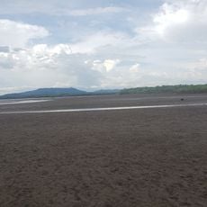
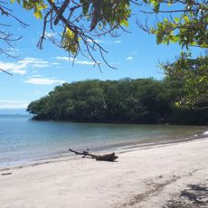
The Choluteca River system enables farming operations throughout the region, from sugar cane fields to modern aquaculture facilities. These water resources make the area a major production center for several agricultural products.
The community of curious travelers
AroundUs brings together thousands of curated places, local tips, and hidden gems, enriched daily by 60,000 contributors worldwide.