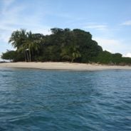
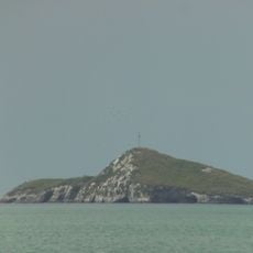
Isla Iguana, Wildlife refuge on Azuero Peninsula, Panama
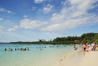
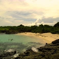
Isla Iguana is a small island off the Azuero Peninsula with 55 hectares of land, white sand beaches, and shallow warm waters. Beneath the surface lies an expansive coral reef system with multiple coral types and hundreds of fish species living among the branches.
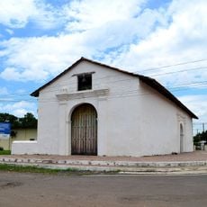
The island served as a military training ground during the 1940s, leaving behind visible craters that remain on the landscape today. It was later designated as a protected refuge to safeguard its natural resources and wildlife for future generations.
The site functions as a living classroom where visitors regularly observe nesting frigate birds and learn about tropical marine life through simple walks. Local guides share stories about how the ocean and island ecosystems depend on each other throughout the year.
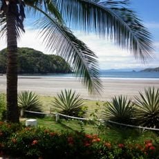
The island is accessible only by boat from Playa El Arenal near Pedasi, a journey of about 20 to 30 minutes across open water. Visitors should follow marked trails, wear sturdy shoes, and bring sun protection, as shade is limited on the island.
The island is home to a large frigate bird colony whose members circle overhead in impressive numbers, making them easy to spot throughout the day. The coral reef system here has developed over centuries and supports an unusually rich variety of marine life.
The community of curious travelers
AroundUs brings together thousands of curated places, local tips, and hidden gems, enriched daily by 60,000 contributors worldwide.