Neiva, Administrative capital in Huila Department, Colombia
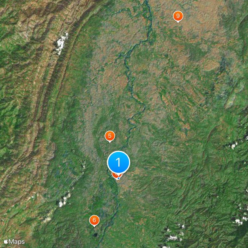
Neiva is the capital of Huila Department in south-central Colombia, sitting in the Magdalena River valley at 442 meters (1,450 feet) elevation. The city spreads between gentle hills and the river, with broad streets running through residential and commercial districts and several parks along the waterfront.
Diego de Ospina founded the city in 1612 at its current location after two earlier settlement attempts nearby had failed. The riverside position enabled trade and connections to other regions, supporting growth during the 18th and 19th centuries.
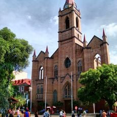
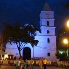
The name comes from an indigenous language and refers to the snow-capped mountains of the region. Visitors notice the influence from different periods in the architecture around the central square, where residents gather in the late afternoon.
Benito Salas Airport sits outside the city center and offers connections to major cities within Colombia. Most visitors explore on foot or use local taxis, as the main points of interest lie close together in the central districts.
The surrounding fields produce cotton, rice, corn, and sesame, making the city an important distribution point for these goods. Traders from smaller towns come here regularly to buy and sell agricultural products.
Location: Huila Department
Inception: May 24, 1612
Elevation above the sea: 442 m
Part of: Huila Department
Website: http://alcaldianeiva.gov.co/cms
GPS coordinates: 2.92750,-75.28750
Latest update: December 11, 2025 19:38
Estadio Guillermo Plazas Alcid
1.2 km
Immaculate Conception Cathedral, Neiva
266 m
Huila Regional Archaeological Museum
1.3 km
Neiva National Telegraph and Post Office Building
8.1 km
Lac El Juncal
11.7 km
Church of the Immaculate Conception, Neiva
143 m
Plaza Cívica Los Libertadores
429 m
Mirador desierto rojo
36.4 km
Coliseo de Ferias Aipe
32.9 km
Observatorio Astronomico de Tatacoa
36.5 km
Sand Banks
36.5 km
Estoraque La Torre
36.5 km
Sendero de los Xilopalos
40.1 km
Fossils
35.8 km
Club Campestre de Neiva
10 km
Piscina mineral
39.4 km
Scenic viewpoint
821 m
Parque ecologico Santa Rosalina
18.8 km
Desierto erosionado
36.5 km
Mirador Ventana
37.4 km
Scenic viewpoint
36.6 km
Los Hoyos - Desierto Gris
39.2 km
Los Hoyos
39.3 km
Lab
36.3 km
Antiguo ojo del desierto
36.4 km
Scenic viewpoint
34.4 km
Mirador Noches de París
14.4 km
Cascada La Guagua
18.1 kmVisited this place? Tap the stars to rate it and share your experience / photos with the community! Try now! You can cancel it anytime.
Discover hidden gems everywhere you go!
From secret cafés to breathtaking viewpoints, skip the crowded tourist spots and find places that match your style. Our app makes it easy with voice search, smart filtering, route optimization, and insider tips from travelers worldwide. Download now for the complete mobile experience.
A unique approach to discovering new places❞
— Le Figaro
All the places worth exploring❞
— France Info
A tailor-made excursion in just a few clicks❞
— 20 Minutes