Huila Department, Department in southwestern Colombia
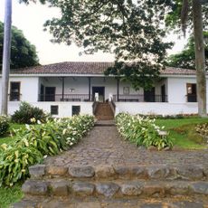
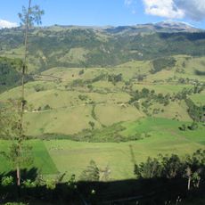
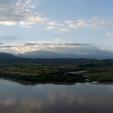
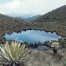
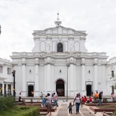
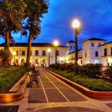
Huila is an administrative region in southwestern Colombia that stretches between mountain ranges and fertile valleys, with the Magdalena River running through its center. The capital city Neiva lies at the heart, connecting smaller towns and rural communities shaped by coffee farming and agriculture.
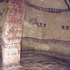
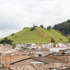
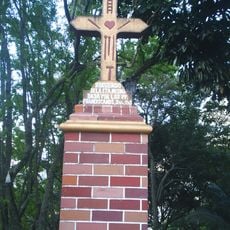
The area became an official department in 1905, after being part of larger administrative units during colonial times and the early republic. Before Spanish arrival, indigenous groups lived here and left behind stone monuments and ceremonial sites that remain today.
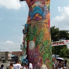
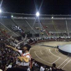
The Festival de San Pedro brings together musicians, dancers, and artisans from across the region every June, showcasing their traditions through public performances and street celebrations. Visitors experience local rhythms like bambuco and sanjuanero alongside dishes based on corn, yucca, and regional ingredients.
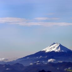
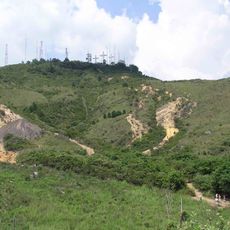
Travelers planning to explore the region should use Neiva as a starting point, where roads lead into the mountains and toward archaeological sites. The terrain ranges from hot river valleys to cooler highlands, so pack clothing for different climates.
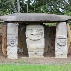
The San Agustin Archaeological Park in the southern part holds more than 500 stone sculptures created by civilizations about which little is known today. These figures depict deities, animals, and human forms and are scattered across a wide area that visitors can explore on foot.
Location: Colombia
Inception: 1905
Capital city: Neiva
Elevation above the sea: 610 m
Reference: HUI
Shares border with: Cauca Department, Tolima Department, Cundinamarca Department, Meta Department, Caquetá Department
Website: http://gobhuila.gov.co/cms
GPS coordinates: 2.80000,-75.45000
Latest update: December 15, 2025 08:13
San Agustin archeological park
131.4 km
Christ the King statue
142 km
Nevado del Huila
65.9 km
Tierradentro
69.2 km
Hacienda El Paraíso
125.2 km
Cerro de Las Tres Cruces
145.2 km
El Gato del Rio
141.6 km
Ermita de Cali
140.6 km
Puracé
118.2 km
Puracé National Natural Park
120.3 km
Lake Betania
12.9 kmMonument to Sebastián de Belalcázar
141.6 km
Cali Zoo
142.8 km
Cali Tower
140.6 km
Las Hermosas National Natural Park
98.8 km
Monumento a la Resistencia
136.8 km
Estadio Guillermo Plazas Alcid
24.2 km
Morro del Tulcán
133.9 km
La Tertulia Museum
141.6 km
Santo Ecce Homo de Popayán
134 km
Statue of Benito Juárez in Cali
139.5 km
Iglesia de San Francisco, Cali
140.5 km
Plaza de Toros Cañaveralejo
139.8 km
Estadio Francisco Rivera Escobar
124.9 km
Parque Artesanal Loma de La Cruz
140.5 km
Saint Francis of Assisi Church
134.8 km
Cathedral Basilica of Our Lady of the Assumption, Popayán
134.7 km
Parque Caldas
134.6 kmVisited this place? Tap the stars to rate it and share your experience / photos with the community! Try now! You can cancel it anytime.
Discover hidden gems everywhere you go!
From secret cafés to breathtaking viewpoints, skip the crowded tourist spots and find places that match your style. Our app makes it easy with voice search, smart filtering, route optimization, and insider tips from travelers worldwide. Download now for the complete mobile experience.
A unique approach to discovering new places❞
— Le Figaro
All the places worth exploring❞
— France Info
A tailor-made excursion in just a few clicks❞
— 20 Minutes