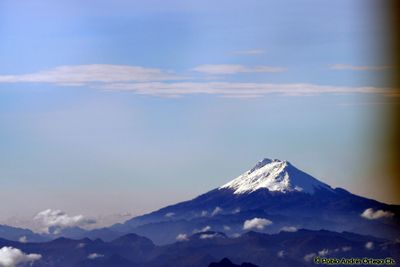
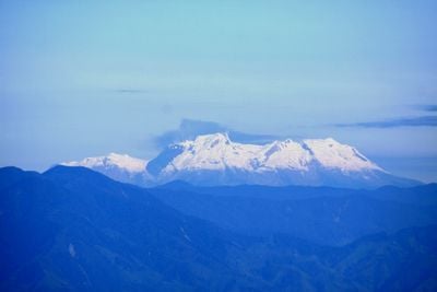
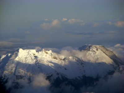
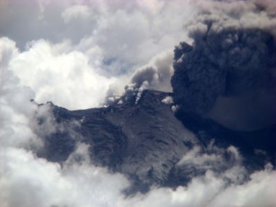
Nevado del Huila, Active stratovolcano in Andes Mountains, Colombia.
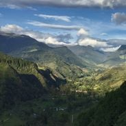
Nevado del Huila is an active stratovolcano in the Colombian Andes that reaches 5364 meters in elevation, making it the country's third highest volcanic peak. Its slopes are covered with extensive glacial fields that remain visible year-round and give the mountain its characteristic white appearance.
The volcano remained inactive for 450 years until it awakened in 2007 with a series of eruptions that led to large-scale evacuations of surrounding communities. This phase of activity changed the geological structure of the mountain and continues today, with scientists monitoring its movements constantly.
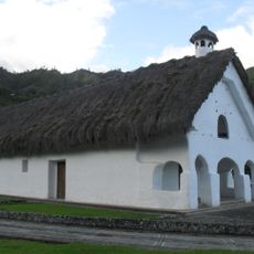
Indigenous communities near Nevado del Huila maintain traditional practices connected to the mountain, incorporating its presence into their seasonal ceremonies.
Climbers must obtain official permission and hire local mountain guides to enter the volcano trails, with expeditions typically starting from the nearest town. The best time for an ascent is during the dry months when weather conditions are more stable and views of surrounding peaks become clearer.
The volcanic system contains a glacier covering 13 square kilometers that serves as an important water source for several river valleys across the region. On clear days, you can see steam clouds rising from the active craters at the summit from certain vantage points.
The community of curious travelers
AroundUs brings together thousands of curated places, local tips, and hidden gems, enriched daily by 60,000 contributors worldwide.