Cauca Department, Administrative department in southwestern Colombia
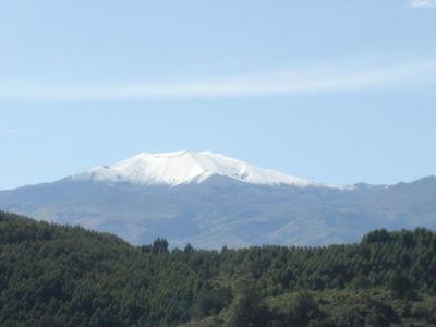
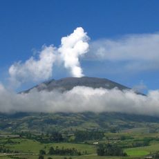
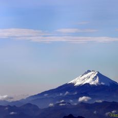
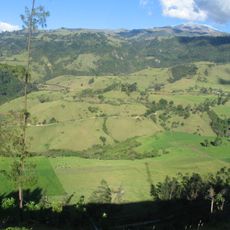
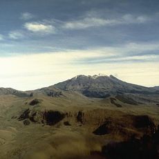
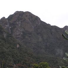
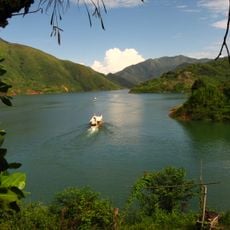
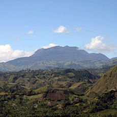
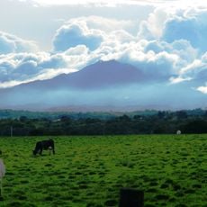
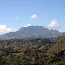
Cauca is an administrative division in southwestern Colombia that stretches from the Pacific coast to the mountain ranges of the Andes, covering rainforest, valleys, and highland areas. The landscape shifts between low coastal plains and mountainous zones crossed by rivers and vegetation.
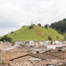
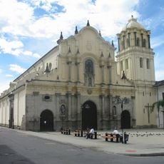
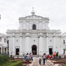
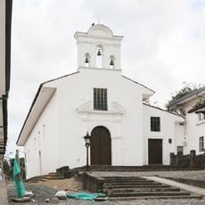
The administrative division was created in 1857 with Popayán named as its capital. The region played an important role during colonial times and later in political events of 19th-century Colombia.
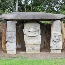
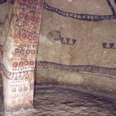
The population consists of indigenous communities, Afro-Colombian groups, and mestizo inhabitants, each maintaining their languages, traditions, and agricultural practices.
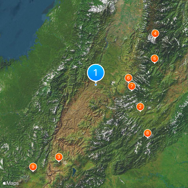
The area divides into 42 municipalities connected by mountain roads and coastal routes. Travelers should expect varying altitudes and climate zones depending on whether they move along the coast or through the mountain areas.
The Colombian Massif within this area is the source of five major rivers that flow in different directions and irrigate the land. These water sources supply large parts of Colombia and reach as far as the Amazon and the Pacific.
Location: Colombia
Inception: 1857
Capital city: Popayán
Elevation above the sea: 1,693 m
Reference: CAU
Shares border with: Valle del Cauca Department, Tolima Department, Huila Department, Putumayo Department, Nariño Department, Caquetá Department
Website: http://gobcauca.gov.co
GPS coordinates: 2.28333,-76.85000
Latest update: December 14, 2025 23:27
San Agustin archeological park
79.8 km
Galeras
131.1 km
Nevado del Huila
116.3 km
Tierradentro
96.8 km
Puracé
50.7 km
Puracé National Natural Park
56.4 kmCueva de los Guácharos National Natural Park
114.1 km
Volcán Azufral
164.7 km
Farallones de Cali National Natural Park
109.9 km
Lake Salvajina
68.6 km
La Corota Island Flora Sanctuary
132.7 km
Estadio Departamental Libertad
129.8 km
Morro del Tulcán
33.1 km
Santo Ecce Homo de Popayán
32.8 km
Doña Juana
87.7 km
Munchique National Natural Park
53.1 km
Saint Francis of Assisi Church
32.2 km
Cathedral Basilica of Our Lady of the Assumption, Popayán
32.3 km
Parque Caldas
32.3 km
Sotará
34.7 km
Salto de Bordones
81.5 kmSerranía de los Churumbelos
122 km
Doña Juana-Cascabel Volcanic Complex
91 km
Alto Fragua - Indi Wasi National Natural Park
127.6 km
Laguna Verde
164.8 km
Sagrado Corazón, Pasto
128.1 kmPopayán Archdiocesan Museum of Religious Art
32.5 km
Ermita de Jesús Nazareno
32.2 kmVisited this place? Tap the stars to rate it and share your experience / photos with the community! Try now! You can cancel it anytime.
Discover hidden gems everywhere you go!
From secret cafés to breathtaking viewpoints, skip the crowded tourist spots and find places that match your style. Our app makes it easy with voice search, smart filtering, route optimization, and insider tips from travelers worldwide. Download now for the complete mobile experience.
A unique approach to discovering new places❞
— Le Figaro
All the places worth exploring❞
— France Info
A tailor-made excursion in just a few clicks❞
— 20 Minutes