Serranía de los Churumbelos, Protected area in southwestern Colombia
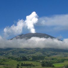
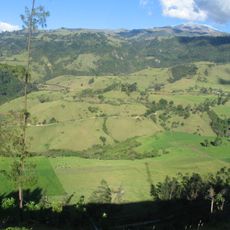
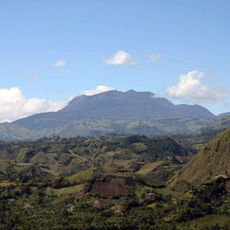
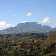
Serranía de los Churumbelos is a protected area in southwestern Colombia spanning across four departments with terrain that varies dramatically from low valleys to high mountains. The landscape shifts between dense forests, grasslands, and mountain regions, each supporting distinct plant and animal communities.
The territory received protected status in 2007, joining Colombia's list of national nature reserves. This designation recognized the region's importance for conservation and safeguarding its diverse ecosystems.
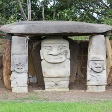
The Inga people have lived in these foothills for many generations and continue to speak Quechua while sharing knowledge about medicinal plants and the forest. This living tradition shapes how communities today interact with and understand the land around them.
The terrain demands good fitness and preparation since routes are challenging and elevation changes require a steady pace. Visitors need to bring their own supplies, equipment, and water to manage independently in this remote location.
The region supports an remarkable number of bird species found nowhere else or are rarely seen, making it a critical refuge for avian life. This exceptional bird community makes the place particularly valuable for nature watchers and researchers.
The community of curious travelers
AroundUs brings together thousands of curated places, local tips, and hidden gems, enriched daily by 60,000 contributors worldwide.