Doña Juana-Cascabel Volcanic Complex, National Natural Park in Nariño and Cauca Departments, Colombia.
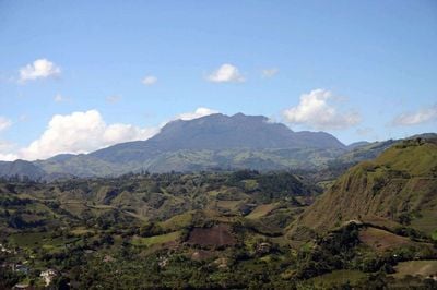
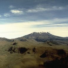
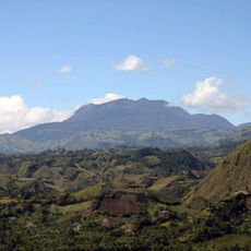
The Doña Juana-Cascabel Volcanic Complex comprises three volcanic peaks situated across a mountainous protected area in southwestern Colombia. The terrain features steep slopes and open highland areas with varied vegetation depending on elevation and exposure.
The site experienced several eruption cycles between 1897 and 1936 before being designated a National Natural Park in 2007. This volcanic activity shaped the geological structure visible across the landscape today.
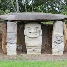
Indigenous communities in the buffer zone maintain a close relationship with the land and practice sustainable stewardship around the volcanic formations. Their daily lives and traditional knowledge are deeply tied to the natural environment and its rhythms.
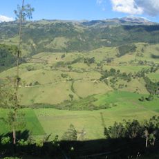
Access is available through designated entry points in the municipalities of El Tablón and San Bernardo that serve as starting points for exploration. Visiting during drier months makes hiking routes more accessible and navigation easier.
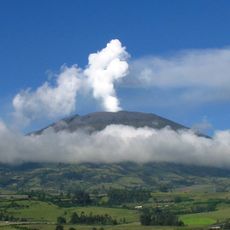
The three volcanoes carry distinct names - Santa Helena, Ancestral Doña Juana, and Old Doña Juana - each reflecting their geological history. This variety shows how tectonic forces and volcanic processes shaped the mountain complex over time.
The community of curious travelers
AroundUs brings together thousands of curated places, local tips, and hidden gems, enriched daily by 60,000 contributors worldwide.