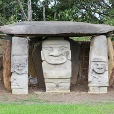
Petacas, Stratovolcano in Nariño Department, Colombia
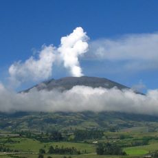
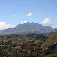
Petacas is a stratovolcano in the Andean region that rises to 4,054 meters (13,300 feet) and is marked by basaltic lava flows and volcanic deposits. The structure displays distinct layers of hardened lava and volcanic material that have accumulated over long periods.
The volcano last erupted roughly 8,000 years ago, according to geological evidence that traces this activity through layers of rock and ash. Since that time, it has remained inactive and stands as a record of the Andes' volcanic past.
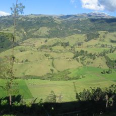
Local communities have adapted their farming to the rich volcanic soils, growing crops that thrive in this mineral-laden earth. The mountain shapes how people in the region relate to nature and their land.
Bring sturdy hiking boots and weather-resistant clothing, as conditions can change quickly at higher elevations. The air grows thinner as you climb, so plan to move at a steady pace and allow extra time for the ascent.
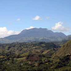
The layers of rock here record different eruption periods, allowing geologists to read the volcano's history like pages in a book. Researchers use this site to understand the volcanic patterns that shaped the entire Andean region.
The community of curious travelers
AroundUs brings together thousands of curated places, local tips, and hidden gems, enriched daily by 60,000 contributors worldwide.