Farallones de Cali, Mountain in Valle del Cauca Department, Colombia
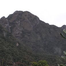
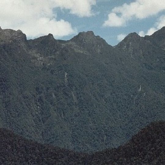
Farallones de Cali is a cluster of craggy peaks in the West Andes, the highest reaching 4,050 m (13,290 ft). The name means "cliffs," and the rocky summits stand above dark green forest that covers the slopes. The eastern foothills meet the Cauca Valley, while the western side drops through river canyons toward the Pacific.
The Farallones de Cali were declared a national park in 1968, the largest in the Valle del Cauca department. The rocks of the Cordillera Occidental rose from the seafloor about 200 million years ago, when the South American and Nazca plates folded and volcanism lifted the sediments. The park covers 206,503.8 hectares across Cali, Jamundí, Dagua and Buenaventura.
The name Farallones means cliffs, referring to the craggy summits that give the mountains and the national park their name. Cholos of the Chocó (Emberá) group live in the area, occupying the lower reaches of the rivers that drain into the Pacific. Andean cock-of-the-rock leks can be watched in the Peñas Blancas area of the Pichindé River valley.
Access requires a permit from the regional environmental authority and is limited to established trails. Visitors should prepare for steep terrain, variable weather, and the physical demands of high-altitude trekking.
The high-altitude zone above 3500 meters (11480 feet) hosts an isolated ecosystem distinct from other Andean highland regions. Remarkably, it lacks the characteristic Espeletia plants that are typically found across South American mountain highlands.
The community of curious travelers
AroundUs brings together thousands of curated places, local tips, and hidden gems, enriched daily by 92,749 contributors worldwide.