Bluefields, Caribbean port city in South Caribbean Coast Autonomous Region, Nicaragua
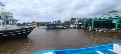
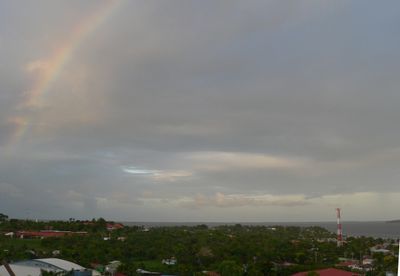
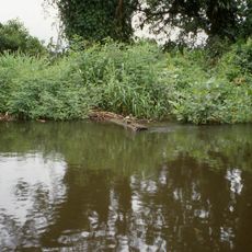
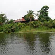
Bluefields is a city on Nicaragua's eastern coast where the Escondido River meets the sea, with natural harbors protected by offshore islands. It stretches along the shoreline with a functional port that serves as a regional hub for trade and transport.
The settlement began in the 1600s as a pirate base established by Dutch captain Abraham Blauvelt. It later became the capital of the British Mosquito Coast protectorate, transforming from an outlaw hideout into an important administrative center.
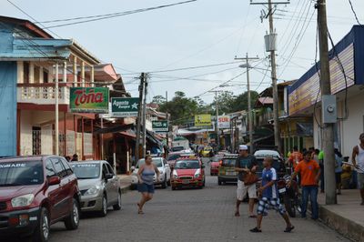
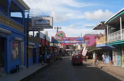
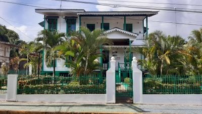
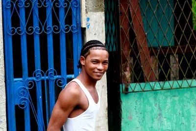
Creole, Miskito, Mestizo, and Garifuna residents maintain their own languages, celebrations, and religious practices across different neighborhoods. You can observe these distinct traditions through the way people dress, the architecture of homes, and the music playing in the streets.
You can reach the city by taking domestic flights to the local airport or buses from Nuevo Guinea, followed by water taxis to various destinations. The best time to visit is during the dry season when weather is more stable and pathways are more accessible.
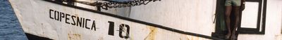
The city's port is the gateway for tropical hardwoods, seafood, and bananas from the interior, serving as Nicaragua's main trading entry point to the Caribbean. Ships from different nations arrive here to load and transport these goods.
The community of curious travelers
AroundUs brings together thousands of curated places, local tips, and hidden gems, enriched daily by 60,000 contributors worldwide.