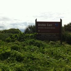
South Caribbean Coast Autonomous Region, Administrative region on Caribbean coast, Nicaragua.
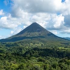
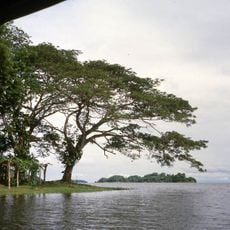
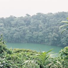
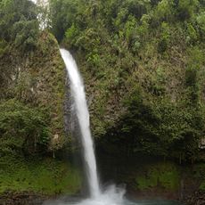
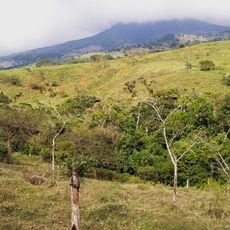
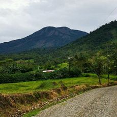
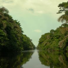
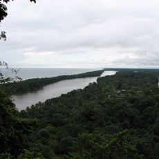
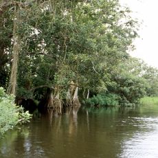
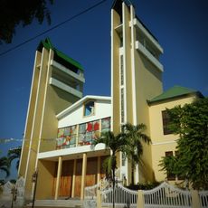
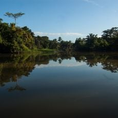
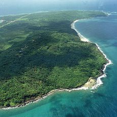
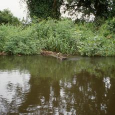
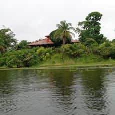
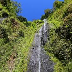
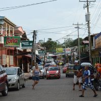
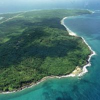
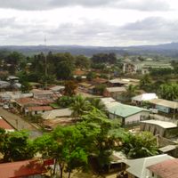
The South Caribbean Coast is an autonomous region on Nicaragua's eastern shore, characterized by tropical forests, coastal areas, and waterways that flow toward the sea. The territory encompasses twelve municipalities and is administered from Bluefields, the main urban center and seat of regional governance.
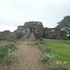
The region was formally established as an autonomous entity in 1987 following the division of the former Zelaya Department, granting local communities greater self-determination. This change reflected recognition of indigenous rights and the distinct identity of coastal communities.
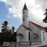
Multiple ethnic communities speak Miskito, Mayangna, and English alongside Spanish, and this linguistic diversity shapes daily interactions throughout the region. Each municipality maintains distinct festivals, crafts, and food traditions that visitors can encounter in markets and during local celebrations.
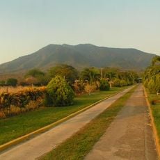
The region is most accessible through Bluefields, reachable by flights or fast boats from western Nicaragua. Visitors should plan around seasonal rainfall variations and know that services and infrastructure are more limited in smaller towns than in the regional center.
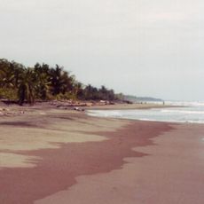
The region is a major hub for seafood fishing in Central America, with shrimp and lobster boats operating from its ports as a vital economic driver. This fishing tradition shapes the daily rhythm of waterfront communities and remains central to local livelihoods.
The community of curious travelers
AroundUs brings together thousands of curated places, local tips, and hidden gems, enriched daily by 60,000 contributors worldwide.