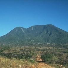
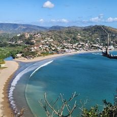
Maderas, Dormant stratovolcano on Ometepe Island, Nicaragua
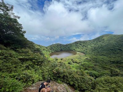
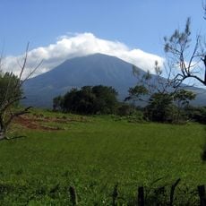
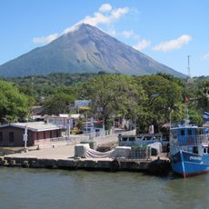
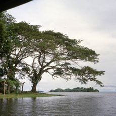
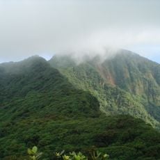
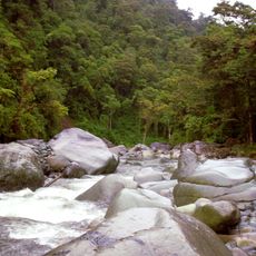
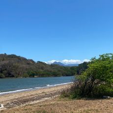
Maderas is a dormant stratovolcano on Ometepe Island that rises approximately 1,400 meters above Lake Nicaragua. Its slopes are densely forested with tropical vegetation that changes across different elevation zones.
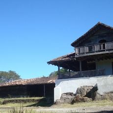
Maderas formed as part of the volcanic activity that shaped Ometepe Island over geological time. The fertile volcanic soil enabled farming communities to establish themselves on the surrounding lands and cultivate crops for centuries.
Local inhabitants of Ometepe Island maintain traditional practices and stories connected to the volcano, incorporating it into their daily customs and beliefs.
The ascent requires a certified guide and takes approximately seven hours round trip over increasingly demanding terrain. Visitors should be in good physical condition since sections are steep and can be muddy depending on the season.
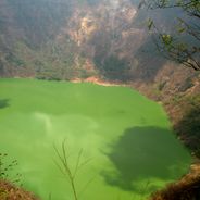
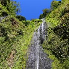
The summit crater holds a deep crater lake surrounded by cloud forest, a rare feature on Nicaragua's Pacific slope. This mist-covered ecosystem remains isolated from the drier lowlands and creates conditions found in few other places in the region.
The community of curious travelers
AroundUs brings together thousands of curated places, local tips, and hidden gems, enriched daily by 60,000 contributors worldwide.