Rincón de la Vieja National Park, National park in Guanacaste Province, Costa Rica.
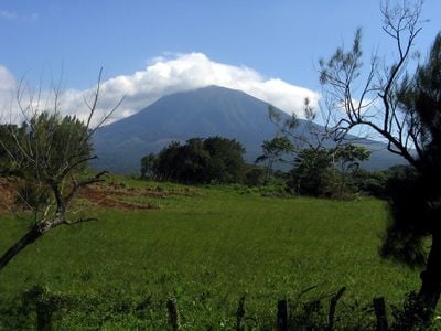
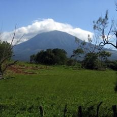
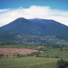
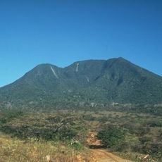
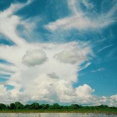
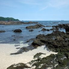
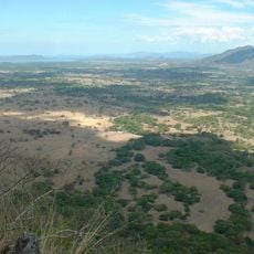
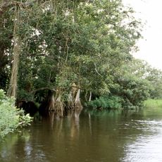
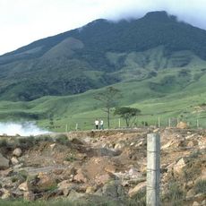
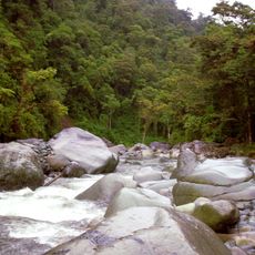
Rincón de la Vieja National Park is a protected area in Guanacaste containing two volcanoes, numerous rivers, and forest types ranging from mountain heights to lower elevations. The terrain displays a mix of tropical and cloud forest ecosystems adapted to different altitude zones.
The area became protected land in 1973 to preserve its diverse habitats and geological features. Since its establishment, the landscape has experienced several volcanic events that have shaped conditions throughout the park.
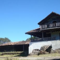
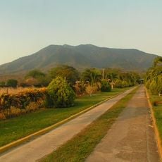
The haciendas found here maintain traditional ranching ways that have shaped life in the region for generations, visible in how people work the land daily. Visitors can see this heritage still active through the cattle grazing practices and rural customs that continue across the landscape.
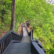
The main entrance sector is open Tuesday through Sunday, and visitors should plan ahead since entry reservations are required beforehand. Good hiking shoes and plenty of water are essential, as trails can be uneven and sun exposure is intense.
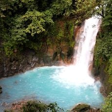
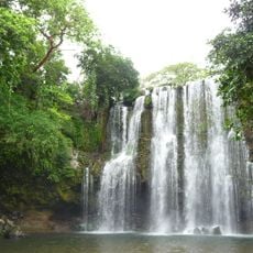
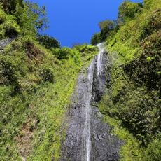
The park contains visible volcanic phenomena like steam vents and boiling mud pools that reveal how geologically active the land remains. In certain areas, visitors can experience waterfalls and geothermal hot springs within the same landscape.
The community of curious travelers
AroundUs brings together thousands of curated places, local tips, and hidden gems, enriched daily by 60,000 contributors worldwide.