Chest opened
+${chestReward.xp} XP
Explorer
NOUVEAU ×${chestReward.collectible.quantity}
tapez pour fermer

See the monuments around you in AR Open chests in the app

Around Us is built for your phone — point your camera at the streets and discover the monuments and places around you in augmented reality. Around Us is built for your phone — chests unlock when you walk, explore and capture nearby places.

•

Enable Location

We need your location to show you interesting places around you

Discover nearby places

Find interesting locations and hidden gems around you

Precise directions

Get accurate directions and distances to places

Your location is never shared with other users. It's only used when you tap the location button.

Palo Verde National Park

Log in to your account

Start exploring — it's free

Trusted by 94,661 travelers worldwide

Continue with Google
Continue with Apple
or

We will send you a code to connect

By continuing, you accept our Terms and Conditions and our Privacy Policy

Check your inbox

We've sent a pincode in your inbox. Please enter the code below.

Palo Verde National Park

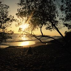
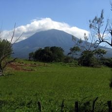
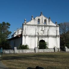
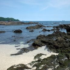
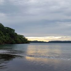
Palo Verde National Park, Wetland sanctuary in Guanacaste Province, Costa Rica

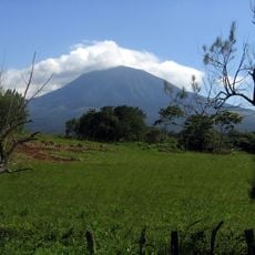
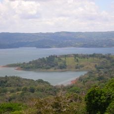
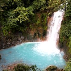
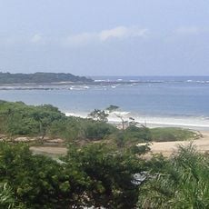
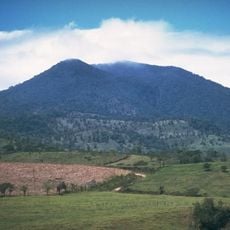
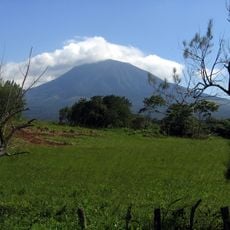
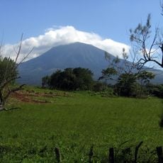
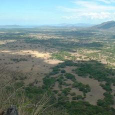
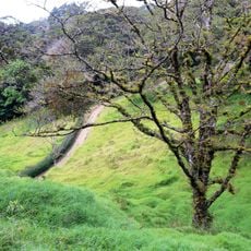
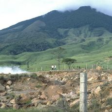
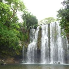
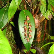
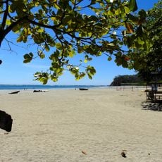
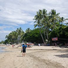
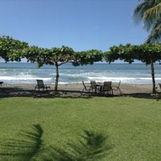
Palo Verde National Park covers 18,418 hectares in Guanacaste Province, 30 km west of Cañas. It protects floodplains, marshes, limestone ridges and seasonal pools of the Tempisque and Bebedero river basins, with 15 topographical zones from evergreen forest to mangrove swamp.

The area became a national park in 1978 to protect critical wetland habitats in Costa Rica. This action showed the nation's commitment to conservation during a period when environmental protection was growing in importance.

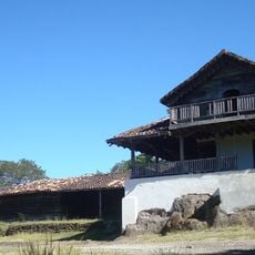
Palo Verde takes its name from the green-stemmed palo verde trees of its dry forest. The land belonged to presidents Tomás Guardia and Bernardo Soto until around 1850, then passed to Jorge Wilson, whose family signed an agreement with the OTS in 1970 creating the Palo Verde Biological Station. Researchers and students still work there.

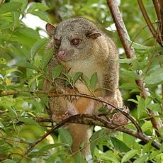
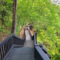
The terrain is easily accessible with paths of varying difficulty suitable for different visitors. Early morning is the best time for wildlife watching since animals are most active then.

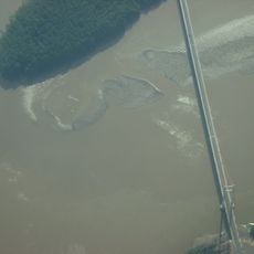
Parajos Island, in the middle of the Tempisque River, is Costa Rica's largest nesting site for black-crowned night-herons. In the dry season, when water is scarce elsewhere in the country, birds gather in the park and its river basin; 15 topographical zones, from evergreen forest to mangrove swamp, lie within its boundaries.

The community of curious travelers

AroundUs brings together thousands of curated places, local tips, and hidden gems, enriched daily by 94,661 contributors worldwide.

Start exploring
Inception
1978
GPS coordinates
10.39722,-85.32333
Latest update
November 3, 2026 20:32
Reviews
Share your experience

No review yet

Discussions
Start a discussion...

No discussion yet

« Palo Verde National Park - Wetland sanctuary in Guanacaste Province, Costa Rica » is provided by Around Us (aroundus.com). Images and texts are derived from Wikimedia project under a Creative Commons license. You are allowed to copy, distribute, and modify copies of this page, under the conditions set by the license, as long as this note is clearly visible.

Discover hidden gems everywhere you go!

From secret cafés to breathtaking viewpoints, skip the crowded tourist spots and find places that match your style. Our app makes it easy with voice search, smart filtering, route optimization, and insider tips from travelers worldwide. Download now for the complete mobile experience.
Around Us App Screenshot
❝

A unique approach to discovering new places❞

— Le Figaro

❝

All the places worth exploring❞

— France Info

❝

A tailor-made excursion in just a few clicks❞

— 20 Minutes

Around Us
Travel Guide & Maps
Download

Send to your phone

QR Code
1

Open the camera app on your mobile.

2

Point at the QR code with your camera. A notification will appear.

3

Tap the notification to open the link.