Volcán Tenorio, Dormant stratovolcano in Guanacaste Province, Costa Rica
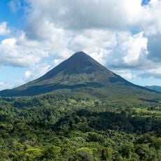
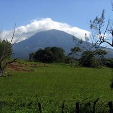
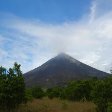
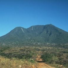
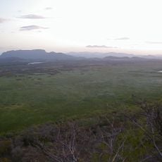
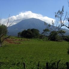
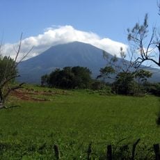
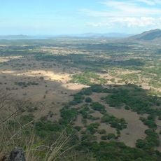
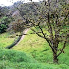
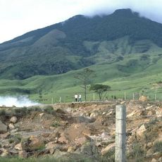
Volcán Tenorio is an inactive andesitic stratovolcano whose massif consists of four volcanic peaks aligned northwest to southeast, including the twin craters Tenorio and Montezuma. The summit reaches 1,916 metres, and the formation covers 225 square kilometres. Its flanks descend from savanna at lower elevations through rainforest to cloud forest near the top.
The name Tenorio appears in a 1744 document and was recorded by historian León Fernández Bonilla in 1745; Karl von Seebach noted it as "Thonorio" in Father Cepeda's diary, published in 1851. A Chorotega legend explains the name. Although a legend speaks of an eruption in 1816, the volcano was seen covered in dense forest in 1864 and is not considered to have erupted in historical times. It became part of Tenorio Volcano National Park in 1995.
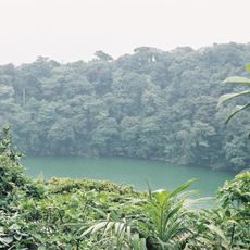
The name comes from a Chorotega legend about Eskameca and Tenorí, and the volcano appears as "Thonorio" in Father Cepeda's diary, published in 1851. At its foot, near Bijagua, large macadamia plantations cover the slopes, and the Laguna Danta lies in an old crater.
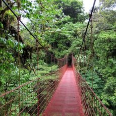
The crater route starts near Agua Caliente, reached via Route 927 on the southwest flank, and runs 13 km round trip with 1,090 m of elevation gain, well marked and not difficult. It crosses rainforest to the crater rim. Average temperature is 23 °C, with lows near 15 °C at the summit and about 3,500 mm of rain a year.
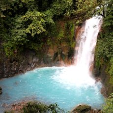
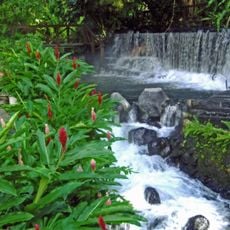
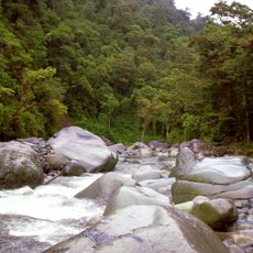
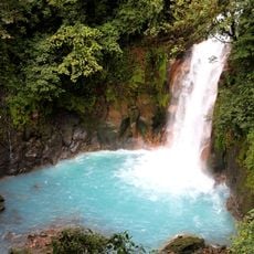
The Rio Celeste turns a bright blue color where two clear water streams merge at a specific location. This unusual natural phenomenon results from a reaction involving mineral substances in the water.
The community of curious travelers
AroundUs brings together thousands of curated places, local tips, and hidden gems, enriched daily by 93,902 contributors worldwide.