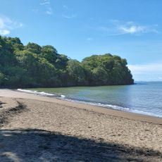
Monteverde Cloud Forest Reserve, Protected area in Monteverde Canton, Costa Rica.
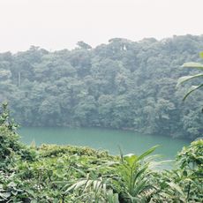
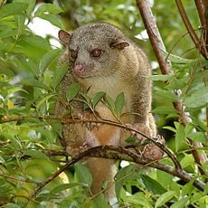
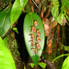
Monteverde Cloud Forest Reserve is a protected area in Monteverde Canton in the highlands of Costa Rica, where six ecological zones alternate with dense vegetation. More than 2,500 plant species and 400 bird species inhabit an area of around 10,500 acres (4,250 hectares) that ranges from tropical rainforest to cloud forest layers.
Quaker settlers founded the reserve in 1973 to protect the region's water supply and halt deforestation. The project later inspired additional conservation initiatives across Central America and was managed by the Costa Rican scientific organization Centro Científico Tropical.
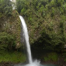
The name Monteverde means green mountain and refers to the moist forest canopy shaped by fog drifts that remain visible throughout the year. Visitors today experience trails where scientific observations take place, while tropical bird species such as the quetzal appear among the treetops.
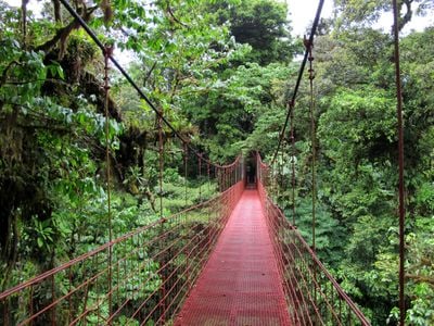
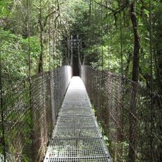
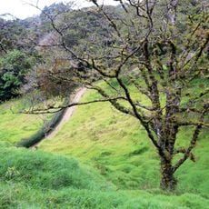
The site offers 8 miles (13 kilometers) of walking trails that pass through several forest layers and includes a visitor center with restrooms and information panels along the routes. Waterproof clothing and non-slip footwear help since paths often stay wet and fog rolls in quickly.
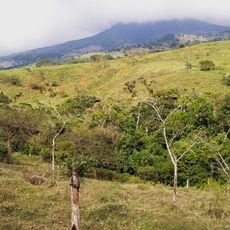
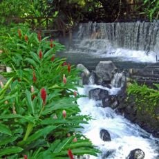
The reserve sits at around 5,033 feet (1,534 meters) elevation, where Caribbean winds meet the mountain range and transform into permanent fog drifts. These moisture veils nourish rare mosses, ferns, and orchids that grow on tree bark without touching the ground.
The community of curious travelers
AroundUs brings together thousands of curated places, local tips, and hidden gems, enriched daily by 60,000 contributors worldwide.