Platanar, Stratovolcano in Central Mountain Range, Costa Rica.
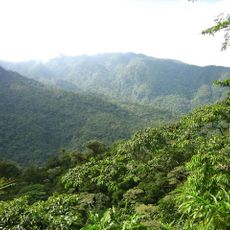
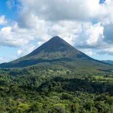
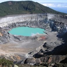
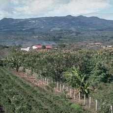
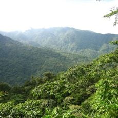
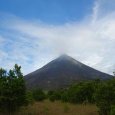
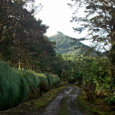
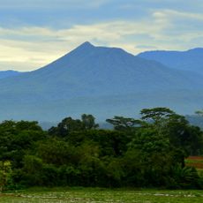
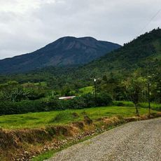
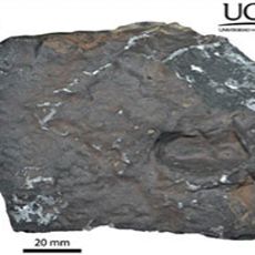
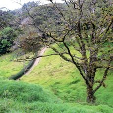
Platanar is a dormant stratovolcano rising to 2,183 m in the Cordillera Volcánica Central, 8 km southeast of Ciudad Quesada. Its upper northwest holds an eroded crater, and on its northeast side lies the edge of an old caldera at 1,860 m. The cone is built of basalts, pyroxenic andesites, pyroclasts, volcanic breccias and lahars, and is cut by several tectonic faults.
Platanar is a dormant stratovolcano of the Pleistocene, sharing a 900 km² complex with Porvenir Volcano to the south. Its western and northwestern flanks carry prehistoric lava flows; the Florida flow, marked by pressure ridges visible from the air, may record its last effusive activity. In 1968, 2,500 hectares on Cerro Platanar became national forest, later part of Juan Castro Blanco National Park.
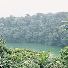
Both names, Platanar and Cerro Congo, date from the 19th century and point to the howler monkeys and plantains then abundant in the area. In 1861 the German explorer Alexander von Frantzius recorded the mountain as Cerro La Lagunilla, after the swampy crater summit and the El Congo and Pozo Verde lagoons on its northern flank.
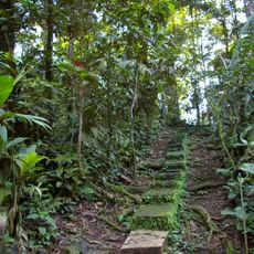
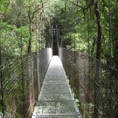
A network of trails runs through the national park, providing access to different areas of the volcano and its surroundings. The routes are best hiked during drier periods and require proper footwear for uneven ground.
Earthquakes occur in the region, such as a swarm of six minor tremors on the southern flank that reveal the ground remains active below. This seismic activity is a sign of the tectonic forces still at work beneath the landscape.
The community of curious travelers
AroundUs brings together thousands of curated places, local tips, and hidden gems, enriched daily by 94,308 contributors worldwide.