Central Conservation Area, Protected area in central Costa Rica
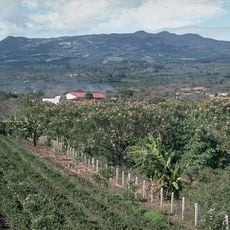
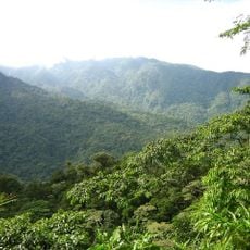
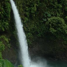
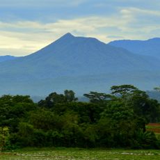
The Central Conservation Area is a protected region in central Costa Rica spanning 642,000 hectares, encompassing landscapes from volcanic summits to lowland rainforest. The highest points reach 3,432 meters (11,260 feet), while the lowest areas sit at 36 meters (118 feet) above sea level.
The area was previously called the Cordillera Volcánica Central Conservation Area before taking its current name. In January 1988 UNESCO designated that Cordillera Volcánica Central area a Biosphere Reserve, not the present Central Conservation Area. The reserve covers about 642,000 hectares, 12.5% of Costa Rica, and holds 54% of the population, including San José.
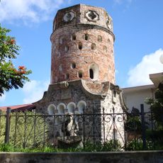
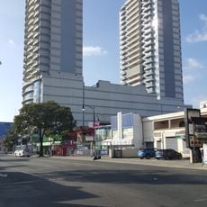
The area was long known as the Área de Conservación Cordillera Volcánica Central before taking its present name. It covers most of the Valle Central, where 54% of Costa Ricans live, and includes San José, so urban growth, business and human development press hardest on this conservation area. Guayabo National Monument, one of its protected sites, holds pre-Columbian stone structures.
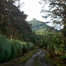
Several national parks including Braulio Carrillo and Volcán Poás can be reached via well-maintained roads from San José. Trails of varying difficulty lead through different climate zones, and rain gear and sturdy footwear are advisable due to changing weather conditions.
The reserve safeguards water sources that supply more than half of Costa Rica's population. These rivers and aquifers feed both households and industrial facilities in the most densely populated parts of the country.
The community of curious travelers
AroundUs brings together thousands of curated places, local tips, and hidden gems, enriched daily by 93,671 contributors worldwide.