Barva Volcano, Volcanic mountain in Heredia Province, Costa Rica
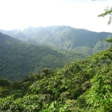
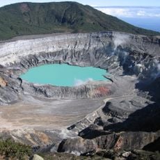
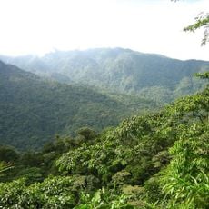
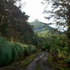
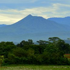
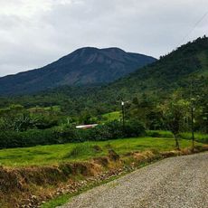
Barva Volcano sits in Heredia Province at about 2,906 meters high with three main peaks and several crater lakes within Braulio Carrillo National Park. The landscape shows clear volcanic features with multiple craters at the summit and scattered across its slopes.
The last confirmed eruption occurred roughly 8,050 years ago, though old reports mention possible activity in the 1700s and 1800s. This geological history reveals a complex volcanic past with multiple periods of active formation.
The name Barva likely derives from the Huetar chief Barvac, who governed a village at the volcano's foot; one theory reads Balwac as "Village of the Anteater." Huetar and Boto peoples lived on the slopes before the Spanish arrived and told legends about the origin of the crater lake.
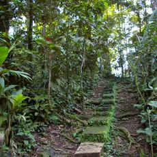
The roads to reach it require four-wheel drive vehicles and visits are better planned outside the rainy season when conditions are safer. Weather can change quickly at this altitude, so proper gear and preparation are necessary.
The three summits seen from the Central Valley, called Las Tres Marías, do not actually belong to the cone that holds Laguna de Barva; that crater lake lies at 2,508 m and measures about 70 m across. The best-preserved cone with a crater is Lake Danta, at 2,580 m.
The community of curious travelers
AroundUs brings together thousands of curated places, local tips, and hidden gems, enriched daily by 93,761 contributors worldwide.