Chato Volcan, Dormant volcano near La Fortuna, Costa Rica
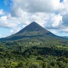
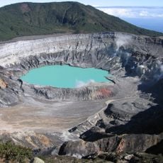
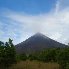
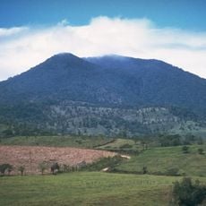
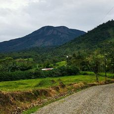
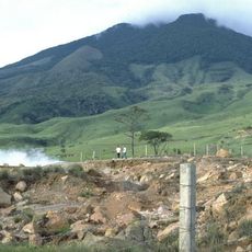
Chato Volcano is a stratovolcano in La Fortuna de San Carlos, Alajuela, Costa Rica, reaching 1,140 m. Its truncated summit holds an oblong crater lake about 250 m across and 18.8 m deep. Two lava domes, Chatito and Espina, stand to the left of the cone.
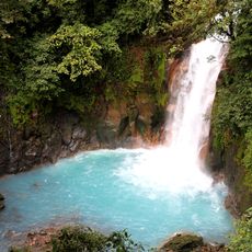
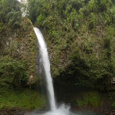
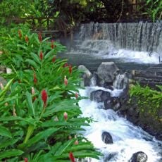
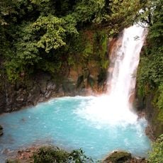
Chato began erupting about 38,000 years ago in the Pleistocene; a lava flow from that period formed the 60 m La Fortuna waterfall on its eastern flank. Its last eruption was roughly 3,500 years ago. In 1968, when Arenal awoke, earthquake epicentres clustered in the Chato area, showing how closely the two volcanoes are linked.
The name Cerro Chato means "Flat Hill", referring to the truncated summit destroyed by explosions. From a distance the profile resembles a sleeping woman. The two lava domes on the left flank are named Chatito ("little Chato") and Espina ("thorn"). The volcano lies within Arenal Volcano National Park.
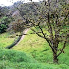
The trail to Cerro Chato was closed by law in 1998, but enforcement only began in 2017, so hiking is now illegal. The closure aims to curb environmental damage from illegal hikes. The route was considered difficult and muddy when wet, especially the descent into the crater. Visitors can instead view the volcano from outside or explore the surroundings of Arenal Volcano.
The lava flows from this volcano carved natural pathways long ago that now lead toward the La Fortuna Waterfall. These two natural features are linked through their shared geological history.
The community of curious travelers
AroundUs brings together thousands of curated places, local tips, and hidden gems, enriched daily by 94,434 contributors worldwide.