
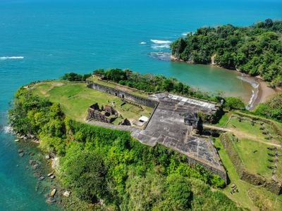
Chagres and Fort San Lorenzo, Spanish colonial fort at Chagres River mouth, Panama
Fort San Lorenzo stands at a strategic position overlooking both the Caribbean Sea and the Chagres River, featuring thick stone walls and military architecture.
The Spanish Empire constructed Fort San Lorenzo in 1590 as a defensive structure to protect their maritime trade routes from pirate attacks and rival colonial powers.
The fortification represents a significant example of Spanish colonial military engineering, demonstrating the methods used to control maritime commerce in the Caribbean region.
Visitors can reach the fort through guided tours from Panama City, with the site remaining open daily and offering educational programs about colonial history.
The structure served as a target of the notorious pirate Henry Morgan, who launched multiple attacks against the fort during his Caribbean campaigns.
Location: Chagres District
Inception: 16 century
Part of: Fortifications on the Caribbean Side of Panama: Portobelo-San Lorenzo
GPS coordinates: 9.32259,-80.00243
Latest update: May 17, 2025 10:35
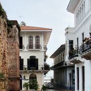
Panama features a variety of photographic settings, from the colonial district of Casco Viejo to the fine sandy beaches of the San Blas Islands. Panama City combines historic heritage and modern architecture, including Frank Gehry's Biomuseo and the Miraflores locks that showcase canal engineering. Walks such as Cinta Costera or Amador Causeway offer views over the bay and the city skyline. Beyond the city, the country reveals rich and accessible nature. The Baru volcano rises over 3400 meters in Chiriquí province, while the Bocas del Toro archipelago hosts secluded beaches with turquoise waters. Tropical forests, marine reserves, and mountain trails complete this landscape diversity, making Panama a full photographic destination between the Atlantic and Pacific.
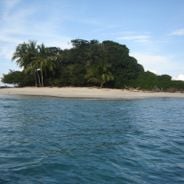
These locations in Panama display the country's diversity. From Coiba Island with its beaches to the colonial ruins of Portobelo. The selection includes national parks, mountains, beaches and historic sites. Volcan Baru offers views of both oceans. The San Blas Islands feature turquoise waters and coral reefs.
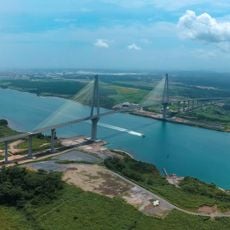
Atlantic Bridge
8.7 km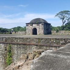
Fort San Lorenzo
86 m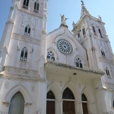
Immaculate Conception Cathedral, Colón
11.6 km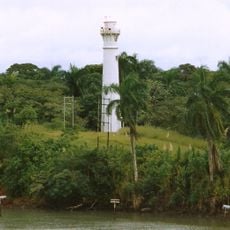
Atlantic Entrance Range Middle Lighthouse
10.2 km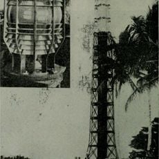
Toro Point Lighthouse
8 km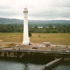
Gatún Northbound Rear Lighthouse
10.3 km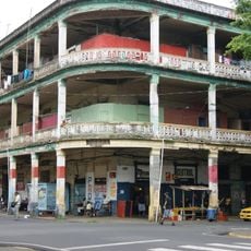
Casa Wilcox
11.8 km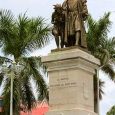
Estatua Cristóbal Colón
11.8 km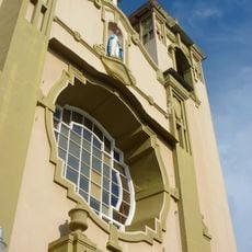
Iglesia de la Medalla Milagrosa
12 km
Edificio Multifamiliar Las Cuatro Potencias: Chagres, Donoso, Santa Isabel y Portobelo
12 km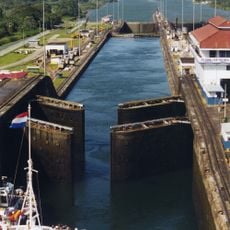
Gatun Locks
10.4 km
Edificio Riviera (Colón)
12 km
Hotel Washington
11.5 km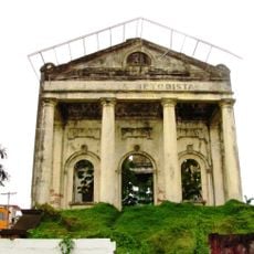
Antigua iglesia Unión
12.1 km
Parque 5 de noviembre
11.6 km
Biblioteca Mateo Iturralde
11.8 km
Antiguo Edificio de la Gobernación de Colón
11.5 km
Paseo Lesseps y su entorno
12.3 km
Edificio de oficinas de la compañía del Ferrocarril
11.4 km
Escuela Porfirio Meléndez
12.1 km
Escuela República de Bolivia
12 km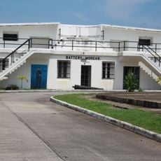
Battery Morgan Fort Lesseps
11.4 km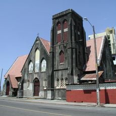
Iglesia de Cristo a Orillas del Mar
11.9 km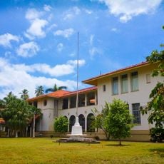
Escuela José Guardia Vega
12.3 km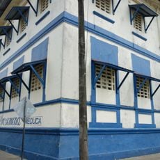
Escuela Pablo Arosemena
11.5 km
Estación del Ferrocarril de Panamá
11.4 km
Edificio de Administración de Cristóbal
11.3 km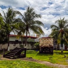
Casa Aminta Meléndez
11.9 kmReviews
Visited this place? Tap the stars to rate it and share your experience / photos with the community! Try now! You can cancel it anytime.
Discover hidden gems everywhere you go!
From secret cafés to breathtaking viewpoints, skip the crowded tourist spots and find places that match your style. Our app makes it easy with voice search, smart filtering, route optimization, and insider tips from travelers worldwide. Download now for the complete mobile experience.

A unique approach to discovering new places❞
— Le Figaro
All the places worth exploring❞
— France Info
A tailor-made excursion in just a few clicks❞
— 20 Minutes