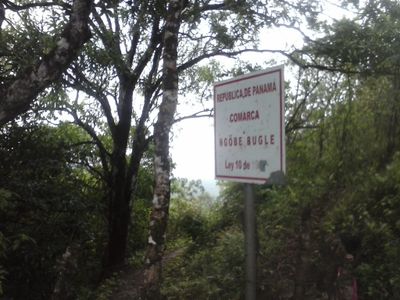
Ngöbe-Buglé Comarca, Indigenous administrative region in western Panama
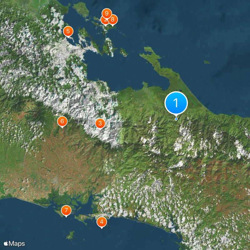
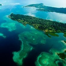
Ngöbe-Buglé is an autonomous region in western Panama, covering forested mountains and valleys with varying climatic conditions. The landscape drops from higher mountain zones to lower areas, with the Caribbean side remaining wet year-round and the Pacific side experiencing drier months.
The area gained its status as an autonomous region in 1997 through a law that brought together land from three neighboring provinces. This administrative structure emerged after decades of organizing and negotiating by indigenous communities with the central government.
The population consists of two distinct linguistic groups, with Ngäbere and Buglére speakers maintaining their traditional practices through local governance and community structures.
The region divides into nine administrative districts, each with its own council and local representatives who handle community matters. Travelers should be aware that roads are often unpaved and the terrain requires plenty of walking or driving over uneven paths, especially during rainy weather.
Families grow staple foods such as corn, rice, beans and coffee on small plots often set on steep hillsides. Women weave traditional carrying bags from plant fibers, used in daily life to transport harvest and other goods.
The community of curious travelers
AroundUs brings together thousands of curated places, local tips, and hidden gems, enriched daily by 60,000 contributors worldwide.