Huixquilucan

Log in to your account

AroundUs is a community-driven map of interesting places, built by curious explorers like you. It grows with every review, story, and photo you share.
Connect to save your favorite spots, contribute locations, and create personalized routes.
Continue with Google
Continue with Apple
Continue with X
Continue with Facebook
Continue with email
By continuing, you accept our Terms and Conditions and our Privacy Policy
Create an account

Huixquilucan

Add to collection
Map
Suggest a change
Share

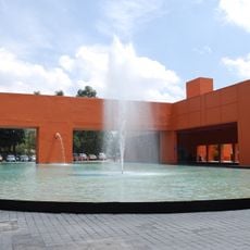
Huixquilucan, Administrative locality in State of Mexico, Mexico.

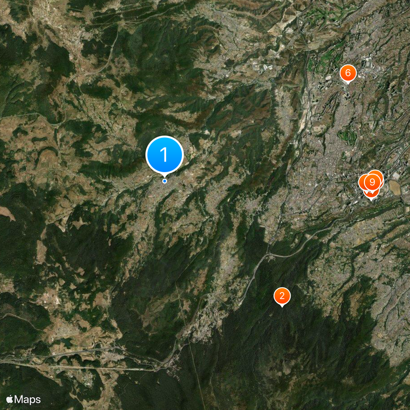
Huixquilucan is an administrative locality in the State of Mexico situated at roughly 2,712 meters (8,900 feet) in elevation. From this vantage point, visitors can see surrounding mountain formations including Iztaccíhuatl and Nevado de Toluca.

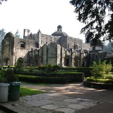
Jesuit missionaries established a school for indigenous languages in San Antonio Huixquilucan during the 1580s. This institution helped bridge communication between the church and native populations during the colonial period.

The name comes from Nahuatl and refers to edible thistles that once grew abundantly in this area. This connection between indigenous language and local plants shows how the landscape shaped the identity of the settlement.

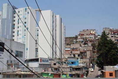
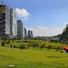
The locality has reliable infrastructure with nearly complete electricity and water service coverage throughout homes. Visitors will find modern utilities and stable access to basic services during their stay.

The settlement sits in a mountain region positioned between two major volcanoes with distinctive high-altitude climate. This geographic setting creates conditions unlike many other areas in central Mexico.

Location: Huixquilucan de Degollado

Elevation above the sea: 2,712 m

GPS coordinates: 19.36111,-99.35083

Latest update: December 14, 2025 20:46

Photos
Reviews

Visited this place? Tap the stars to rate it and share your experience / photos with the community! Try now! You can cancel it anytime.

« Huixquilucan - Administrative locality in State of Mexico, Mexico » is provided by Around Us (aroundus.com). Images and texts are derived from Wikimedia project under a Creative Commons license. You are allowed to copy, distribute, and modify copies of this page, under the conditions set by the license, as long as this note is clearly visible.

Discover hidden gems everywhere you go!

From secret cafés to breathtaking viewpoints, skip the crowded tourist spots and find places that match your style. Our app makes it easy with voice search, smart filtering, route optimization, and insider tips from travelers worldwide. Download now for the complete mobile experience.

Around Us App Screenshot

A unique approach to discovering new places

Le Figaro

All the places worth exploring

France Info

A tailor-made excursion in just a few clicks

20 Minutes