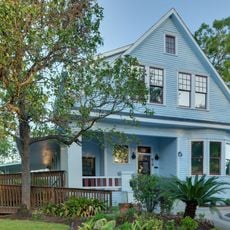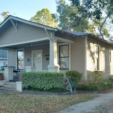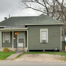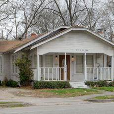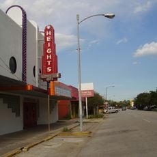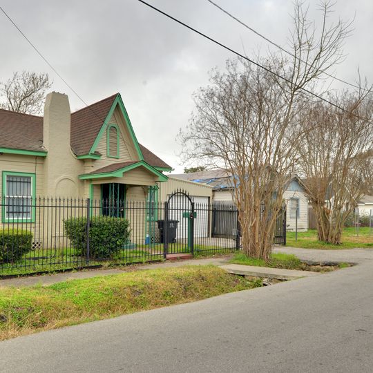
Independence Heights Residential Historic District, National Register Historic District in North Houston, US.
Independence Heights Residential Historic District is a 70-acre historic district in Houston's Independence Heights neighborhood, roughly bounded by N. Yale Street, E. 34th Street, N. Columbia Street and I-610. It was listed on the National Register of Historic Places in 1997 and counted 125 contributing buildings.
The district was listed on the National Register of Historic Places in 1997, with 125 contributing buildings within its 70 acres. Its boundaries run along N. Yale St. on the west, E. 34th St. on the north, N. Columbia St. on the east and I-610 on the south.
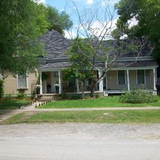
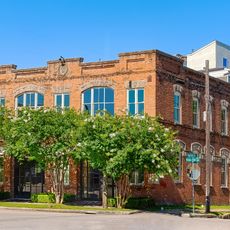
The district covers about 70 acres bounded by N. Yale Street, E. 34th Street, N. Columbia Street and I-610, and holds 125 contributing buildings. Its name comes from Independence Heights, a settlement that existed as a separate municipality before joining Houston. Visitors can walk the grid of early-20th-century houses.
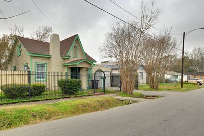
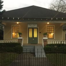
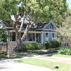
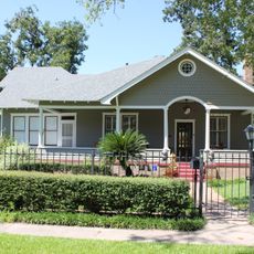
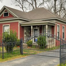
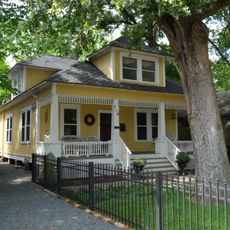
The district is bounded by N. Yale St. to the west, E. 34th St. to the north, N. Columbia St. to the east and I-610 to the south, so a walk can start at any of these edges. It covers about 70 acres and holds 125 contributing buildings, enough for a loop of an hour or more. Look for the American Craftsman porches and exposed rafters as you go.
The district covers about 70 acres bounded by N. Yale Street, E. 34th Street, N. Columbia Street and I-610, and held 125 contributing buildings when it was listed on the National Register in 1997.
The community of curious travelers
AroundUs brings together thousands of curated places, local tips, and hidden gems, enriched daily by 93,029 contributors worldwide.