Choctaw meridian, Principal meridian in central Mississippi, United States
The Choctaw meridian is a principal meridian in central Mississippi that serves as a reference line for systematic land division in the region. It runs north to south and forms a crucial reference point for official mapping and property surveys.
The General Land Office initiated surveys in 1831, establishing the Choctaw meridian as the baseline for mapping the region. This work transformed how land was organized and recorded in Mississippi during the early 19th century.
The meridian name recalls the Choctaw Nation, reflecting the era when their lands formed the basis for mapping the region. Visitors can sense this connection when learning how federal surveyors adapted existing territorial boundaries into their coordinate system.
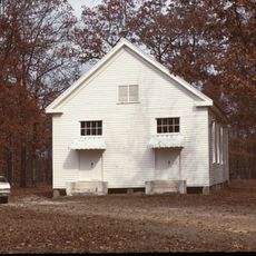
The meridian is now easy to locate in digital mapping systems and survey records used by modern surveyors. Visitors can explore the initial point location, which is marked by a physical landmark on the site.
The initial point remained unmarked for over 150 years until 1998, when a bronze medallion set in granite was finally installed. This delayed marking makes the location a visible reminder of the region's long history of surveying work.
The community of curious travelers
AroundUs brings together thousands of curated places, local tips, and hidden gems, enriched daily by 60,000 contributors worldwide.