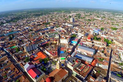
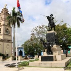
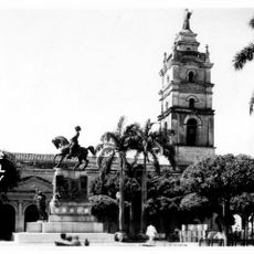
Camagüey, Provincial capital in central Cuba
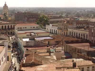
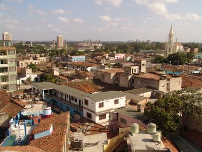
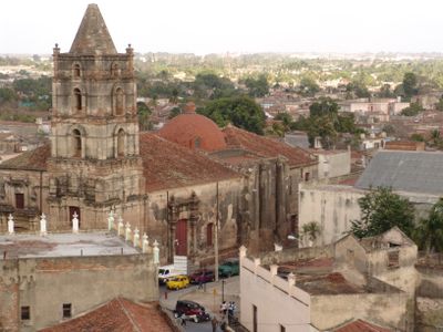
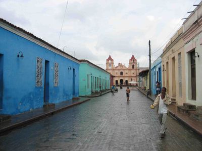
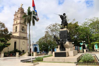
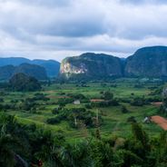
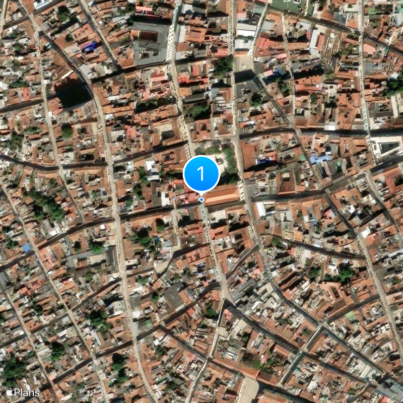
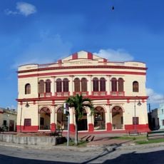
Camagüey is a large city in central Cuba with an old quarter featuring narrow, winding streets and colonial-era buildings. The city spreads across flat terrain and serves as a major economic and cultural hub for the region.
The city was relocated inland from its coastal site in 1528 to escape repeated pirate raids on the original settlement. This move allowed it to grow into a major trading and administrative center that prospered for centuries.
The city remains a center for traditional crafts, with artisans practicing techniques passed down through families in their workshops. Walking through the streets, you can see pottery, textiles, and wooden goods being made using time-honored methods.
The city is best explored on foot, especially the old quarter with its narrow streets and plazas. Wear comfortable shoes since the cobblestone streets are uneven and the layout of different neighborhoods can be confusing.
The city is known for its collection of tinajones, large ceramic water vessels displayed throughout the old quarter. These distinctive containers were historically used to collect rainwater and remain a defining feature of the city today.
Location: Camagüey Province
Inception: 1514
Elevation above the sea: 5 m
Shares border with: Jimaguayú, Sibanicú, Minas, Sierra de Cubitas, Esmeralda, Florida, Vertientes
Website: https://camaguey.cu
GPS coordinates: 21.37861,-77.91861
Latest update: December 6, 2025 16:00
Cuba combines colonial architecture, tropical landscapes and centuries-old fortifications. From the tobacco fields of Viñales Valley to the colonial towns of Trinidad and Havana, and the waterfalls of Soroa, the island displays its history and natural diversity. The Spanish colonial period left behind fortresses, palaces and cobblestone streets in historic centers. National parks protect karst formations, rainforests and coastal areas. Along the coast lie beaches with turquoise waters and coral reefs. The route passes through different regions of the island, from the mountains of Sierra Maestra to the cayos off the northern coast. Each location shows a different aspect of Cuban culture and nature, whether in the streets of Santiago de Cuba or in the caves of Bellamar.
Pico Turquino
191.4 km
Desembarco del Granma National Park
169.1 km
Turquino National Park
191.4 km
Belic
160.5 km
Our Lady of Candelaria Cathedral
29 m
Faro Vargas
172.2 km
Cupaynicú
185.8 km
Lomas de Banao
181.4 km
Teatro Manzanillo
141.7 km
Lighthouse Paredón Grande
125.5 km
Punta Rasa Lighthouse
187.2 km
Cay Lobos Lighthouse
116.6 km
SY Dar Przemyśla
112.1 km
Monumento a Martí
200.2 km
Río Baire
199.9 km
Playa de Caletona
177.6 km
Agramonte Park
53 m
Playa Velázquez
185 km
Yayabo bridge
169.1 km
Laguna Santa Clara
94.8 km
Río Holguín
173 km
Río Plata
77.7 km
Río Potrerillo
197.6 km
Río Baja
159.3 km
Embalse las Villas
191.8 km
Pico Cuevas
193.6 km
Canalizo Baliza Nueva
151.5 km
Teatro Principal
586 mReviews
Visited this place? Tap the stars to rate it and share your experience / photos with the community! Try now! You can cancel it anytime.
Discover hidden gems everywhere you go!
From secret cafés to breathtaking viewpoints, skip the crowded tourist spots and find places that match your style. Our app makes it easy with voice search, smart filtering, route optimization, and insider tips from travelers worldwide. Download now for the complete mobile experience.
A unique approach to discovering new places❞
— Le Figaro
All the places worth exploring❞
— France Info
A tailor-made excursion in just a few clicks❞
— 20 Minutes