
Shire of Wandering, local government area in the Wheatbelt region of Western Australia
Location: Western Australia
Elevation above the sea: 356 m
Website: http://wandering.wa.gov.au
GPS coordinates: -32.68200,116.67800
Latest update: March 10, 2025 10:03
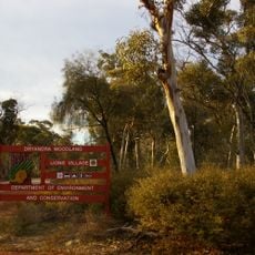
Dryandra Woodland National Park
25.3 km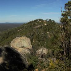
Mount Cooke
45.8 km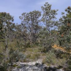
Wandoo National Park
65.8 km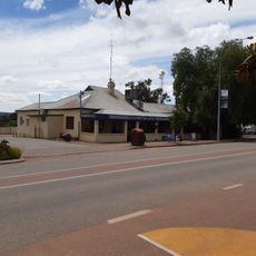
Boddington Hotel
23.4 km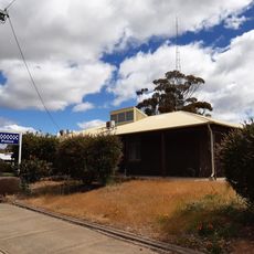
Pingelly Police Station
41.3 km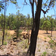
Plavins Pit
50.9 km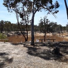
Congelin Railway Dam
24.5 km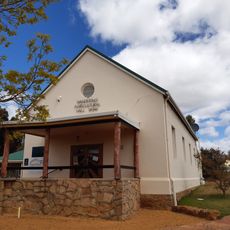
Wandering Shire Hall
336 m
Boddington Town Hall
23.2 km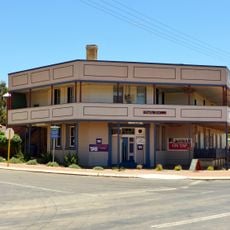
Pingelly Hotel
41.5 km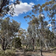
Dryandra Inland Arboretum
29.4 km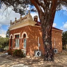
Pingelly Roads Board Office
41.4 km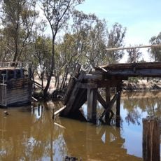
Pumphreys Old Bridge
21.4 km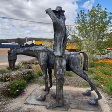
The Horses Came First (statue)
297 m
Pingelly Post Office
41.5 km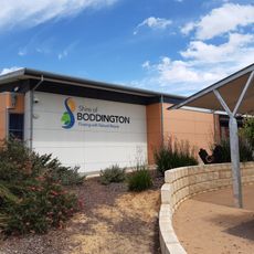
Boddington shire offices
23.2 km
Boddington War Memorial
22.9 km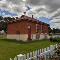
Old Court House, Pingelly
41.4 km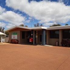
Wandering shire offices
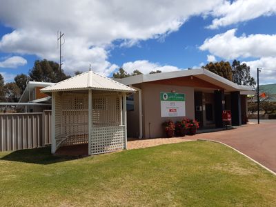
230 m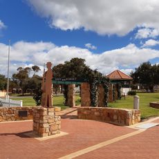
Pingelly Memorial Park & Memorial Rotunda
41.4 km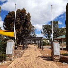
Wandering War Memorial
262 m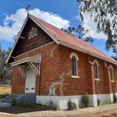
St Martins Anglican Church, Wandering
457 m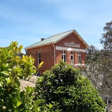
Wandering Road Board Office
159 m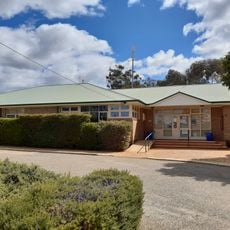
Pingelly shire offices
41.4 km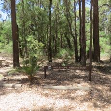
Inglehope Arboretum
48.3 km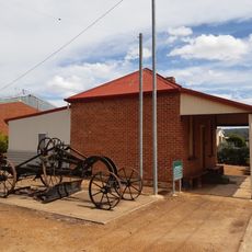
Marradong Road Board Office (former)
23.2 km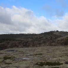
Boyagin Nature Reserve
29.3 km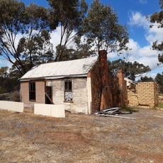
Neta Vale homestead
22.7 kmReviews
Visited this place? Tap the stars to rate it and share your experience / photos with the community! Try now! You can cancel it anytime.
Discover hidden gems everywhere you go!
From secret cafés to breathtaking viewpoints, skip the crowded tourist spots and find places that match your style. Our app makes it easy with voice search, smart filtering, route optimization, and insider tips from travelers worldwide. Download now for the complete mobile experience.

A unique approach to discovering new places❞
— Le Figaro
All the places worth exploring❞
— France Info
A tailor-made excursion in just a few clicks❞
— 20 Minutes