Enable Location

We need your location to show you interesting places around you

Discover nearby places

Find interesting locations and hidden gems around you

Precise directions

Get accurate directions and distances to places

Your location is never shared with other users. It's only used when you tap the location button.

Wheeler County

Log in to your account

Start exploring — it's free

Trusted by travelers worldwide

Continue with Google
Continue with Apple
or

We will send you a code to connect

By continuing, you accept our Terms and Conditions and our Privacy Policy

Check your inbox

We've sent a pincode in your inbox. Please enter the code below.

Wheeler County, County administrative division in central Georgia, United States.

Description

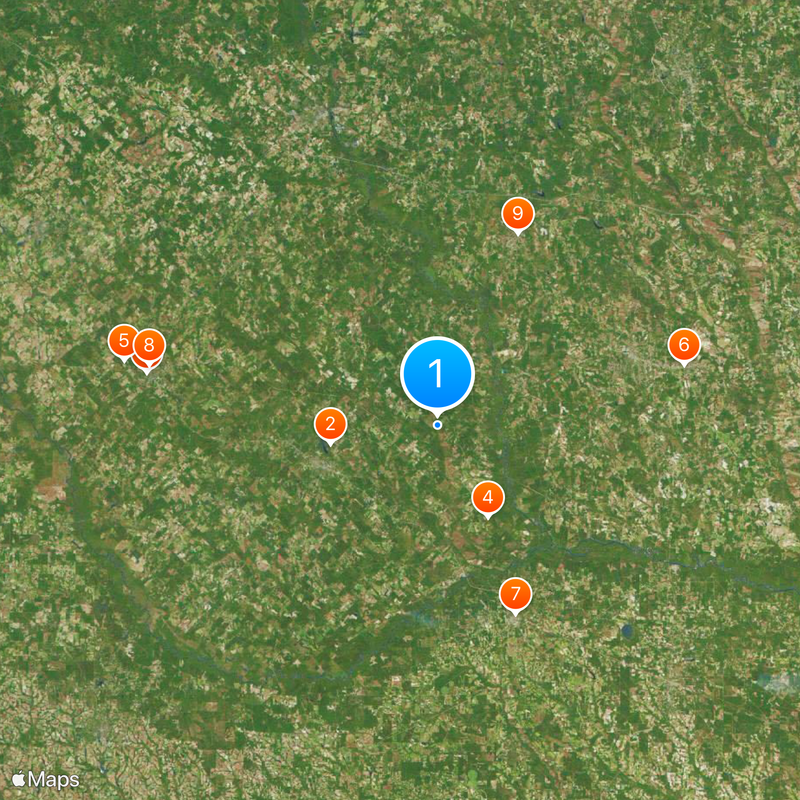
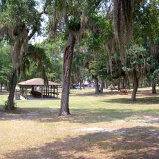
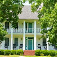
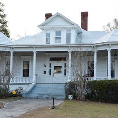
Wheeler County is an administrative division in central Georgia covering approximately 300 square miles with small towns like Alamo and Glenwood scattered across its territory. Little Ocmulgee State Park lies within its boundaries, featuring trails, lakes, and green spaces for outdoor activities.

History

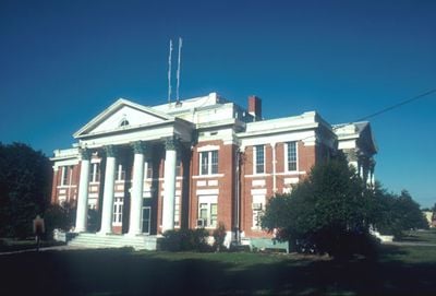
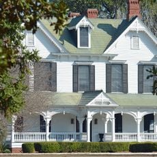
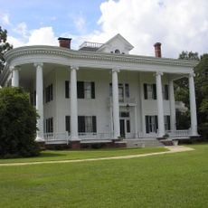
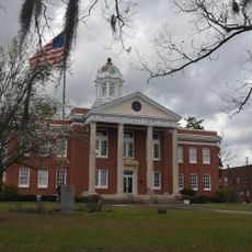
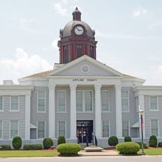
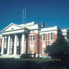
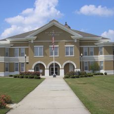
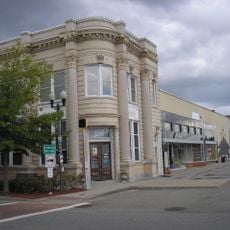
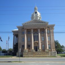
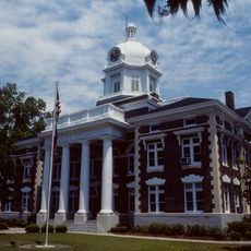
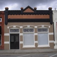
The county was established in 1912 and named after Confederate General Joseph Wheeler, a military leader during the Civil War era. Historic buildings like the Old Calaboose in Alamo remain standing as reminders of this past.

Culture

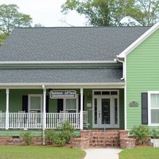
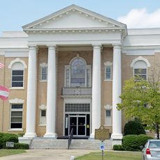
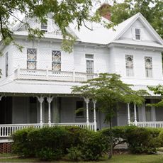
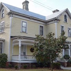
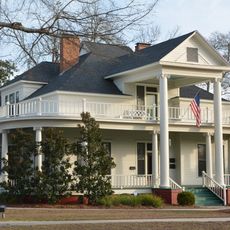
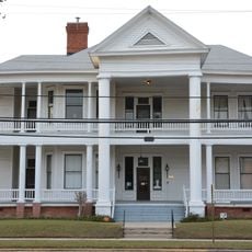
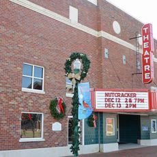
Alamo, the county seat, serves as the social hub where residents gather for local events and celebrations throughout the year. These occasions bring the community together and shape the everyday life of those living here.

Practical

U.S. Route 280 and U.S. Route 319 cross through the county, connecting its towns to each other and to surrounding areas. Local visitor centers can help you find lodging, dining, and activities throughout the region.

Did you know?

The region divides into two distinct river basins, with the eastern portion belonging to the Lower Oconee River sub-basin and the western section to the Little Ocmulgee River sub-basin. This natural division shapes water management and the ecosystems of both areas.

Location
Inception
August 14, 1912
Capital city
Alamo
Shares border with
Treutlen County, Jeff Davis County, Montgomery County, Telfair County, Dodge County, Laurens County
GPS coordinates
32.12000,-82.72000
Latest update
December 20, 2025 15:51

AroundUs brings together thousands of curated places, local tips, and hidden gems, enriched daily by 60,000 contributors worldwide. Discover all places nearby (Georgia).

Around this place
Little Ocmulgee State Park
United States of America

Little Ocmulgee State Park

16.3 km
Peabody School
United States of America

Peabody School

44.1 km
Woodland
United States of America

Woodland

15.6 km
Williamson Mausoleum at Orphans Cemetery
United States of America

Williamson Mausoleum at Orphans Cemetery

47.8 km
Robert and Missouri Garbutt House
United States of America

Robert and Missouri Garbutt House

37.9 km
Pace House
United States of America

Pace House

30.4 km
Dodge County Courthouse
United States of America

Dodge County Courthouse

43.9 km
Treutlen County Courthouse
United States of America

Treutlen County Courthouse

31 km
Carnegie Library
United States of America

Carnegie Library

48.1 km
Stubbs Park–Stonewall Street Historic District
United States of America

Stubbs Park–Stonewall Street Historic District

49.8 km
Appling County Courthouse
United States of America

Appling County Courthouse

51.7 km
C. W. Deen House
United States of America

C. W. Deen House

51.6 km
William Pitt Eastman House
United States of America

William Pitt Eastman House

44.3 km
Wheeler County Courthouse
United States of America

Wheeler County Courthouse

6.7 km
Jeff Davis County Courthouse
United States of America

Jeff Davis County Courthouse

30.8 km
Vidalia Commercial Historic District
United States of America

Vidalia Commercial Historic District

31 km
Peterson-Wilbanks House
United States of America

Peterson-Wilbanks House

30.7 km
Crawford W. Brazell House
United States of America

Crawford W. Brazell House

30.4 km
Wilcox County Courthouse
United States of America

Wilcox County Courthouse

57.1 km
Jim Smith House
United States of America

Jim Smith House

45.6 km
Montgomery County Courthouse
United States of America

Montgomery County Courthouse

13.2 km
Leader–Rosansky House
United States of America

Leader–Rosansky House

30.7 km
Dublin Commercial Historic District
United States of America

Dublin Commercial Historic District

49.8 km
Telfair Center for the Arts
United States of America

Telfair Center for the Arts

18.9 km
Lyons Woman's Club House
United States of America

Lyons Woman's Club House

38.7 km
Max and Emma Sue McRae House
United States of America

Max and Emma Sue McRae House

18.1 km
Citizens Bank of Vidalia
United States of America

Citizens Bank of Vidalia

31 km
Theatre Dublin
United States of America

Theatre Dublin

49.8 km
Show the full map
« Wheeler County - County administrative division in central Georgia, United States » is provided by Around Us (aroundus.com). Images and texts are derived from Wikimedia project under a Creative Commons license. You are allowed to copy, distribute, and modify copies of this page, under the conditions set by the license, as long as this note is clearly visible.

Discover hidden gems everywhere you go!

From secret cafés to breathtaking viewpoints, skip the crowded tourist spots and find places that match your style. Our app makes it easy with voice search, smart filtering, route optimization, and insider tips from travelers worldwide. Download now for the complete mobile experience.

Around Us App Screenshot

A unique approach to discovering new places

Le Figaro

All the places worth exploring

France Info

A tailor-made excursion in just a few clicks

20 Minutes

Around Us
Travel Guide & Maps
Download

Send to your phone

QR Code
1

Open the camera app on your mobile.

2

Point at the QR code with your camera. A notification will appear.

3

Tap the notification to open the link.