Enable Location

We need your location to show you interesting places around you

Discover nearby places

Find interesting locations and hidden gems around you

Precise directions

Get accurate directions and distances to places

Your location is never shared with other users. It's only used when you tap the location button.

Toombs County

Log in to your account

Start exploring — it's free

Trusted by travelers worldwide

Continue with Google
Continue with Apple
or

We will send you a code to connect

By continuing, you accept our Terms and Conditions and our Privacy Policy

Check your inbox

We've sent a pincode in your inbox. Please enter the code below.

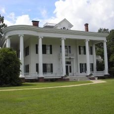
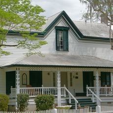
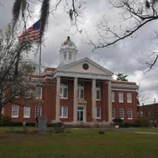
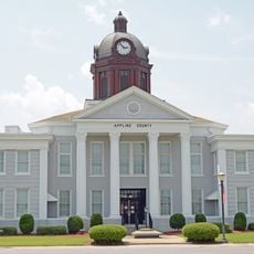
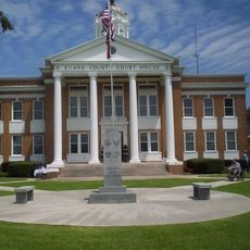
Toombs County, Administrative division in Georgia, United States.

Description

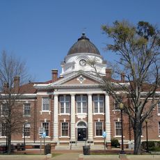
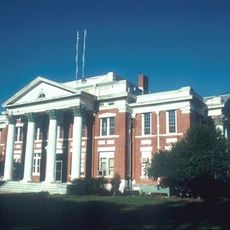
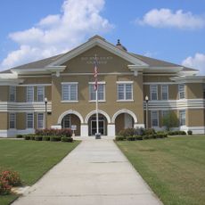
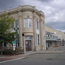
Toombs County spreads across east central Georgia, with Lyons serving as the county seat. Vidalia, the largest municipality, sits within this region in the southeastern United States.

History

The county was established in 1905 by combining parts of Tattnall and Montgomery Counties. Additional land from Emanuel County was added in 1907.

Culture

The county is named after Robert Toombs, a Georgian political figure from the 19th century. His name reflects the region's historical connections and local identity.

Practical

The region is served by U.S. Routes 1 and 280, providing access to regional centers. These major roads connect local communities to broader economic hubs.

Did you know?

The region is divided by two different river basins: the north falls within the Ohoopee River drainage, while the south belongs to the Altamaha River drainage. This natural division has shaped local water flow and ecosystems over time.

GPS coordinates
32.12968,-82.32999
Latest update
December 7, 2025 20:20

AroundUs brings together thousands of curated places, local tips, and hidden gems, enriched daily by 60,000 contributors worldwide. Discover all places nearby (Toombs County).

Around this place
Georgia State Prison
United States of America

Georgia State Prison

20.9 km
Mitchell J. Green Plantation
United States of America

Mitchell J. Green Plantation

45.2 km
Woodland
United States of America

Woodland

32.9 km
Robert and Missouri Garbutt House
United States of America

Robert and Missouri Garbutt House

8 km
Albert Neal Durden House
United States of America

Albert Neal Durden House

50.2 km
Pace House
United States of America

Pace House

38.5 km
Treutlen County Courthouse
United States of America

Treutlen County Courthouse

37.1 km
Appling County Courthouse
United States of America

Appling County Courthouse

39.2 km
George W. DeLoach House
United States of America

George W. DeLoach House

37.5 km
Evans County Courthouse
United States of America

Evans County Courthouse

40 km
C. W. Deen House
United States of America

C. W. Deen House

38.9 km
Candler County Courthouse
United States of America

Candler County Courthouse

39 km
Wheeler County Courthouse
United States of America

Wheeler County Courthouse

42.7 km
Jeff Davis County Courthouse
United States of America

Jeff Davis County Courthouse

39.2 km
Vidalia Commercial Historic District
United States of America

Vidalia Commercial Historic District

12.6 km
Peterson-Wilbanks House
United States of America

Peterson-Wilbanks House

12.2 km
Crawford W. Brazell House
United States of America

Crawford W. Brazell House

12.2 km
Alexander Hotel
United States of America

Alexander Hotel

20.5 km
Jim Smith House
United States of America

Jim Smith House

14.5 km
Montgomery County Courthouse
United States of America

Montgomery County Courthouse

25.5 km
First Methodist Episcopal Church
United States of America

First Methodist Episcopal Church

36.4 km
Leader–Rosansky House
United States of America

Leader–Rosansky House

12.3 km
South Metter Residential Historic District
United States of America

South Metter Residential Historic District

38.7 km
Lyons Woman's Club House
United States of America

Lyons Woman's Club House

8.2 km
Citizens Bank of Vidalia
United States of America

Citizens Bank of Vidalia

12.5 km
Bank of Surrency
United States of America

Bank of Surrency

46.8 km
Dr. James W. Daniel House
United States of America

Dr. James W. Daniel House

40.2 km
Tattnall County Library
United States of America

Tattnall County Library

20.4 km
Show the full map
« Toombs County - Administrative division in Georgia, United States » is provided by Around Us (aroundus.com). Images and texts are derived from Wikimedia project under a Creative Commons license. You are allowed to copy, distribute, and modify copies of this page, under the conditions set by the license, as long as this note is clearly visible.

Discover hidden gems everywhere you go!

From secret cafés to breathtaking viewpoints, skip the crowded tourist spots and find places that match your style. Our app makes it easy with voice search, smart filtering, route optimization, and insider tips from travelers worldwide. Download now for the complete mobile experience.

Around Us App Screenshot

A unique approach to discovering new places

Le Figaro

All the places worth exploring

France Info

A tailor-made excursion in just a few clicks

20 Minutes

Around Us
Travel Guide & Maps
Download

Send to your phone

QR Code
1

Open the camera app on your mobile.

2

Point at the QR code with your camera. A notification will appear.

3

Tap the notification to open the link.