Saluda County

Log in to your account

AroundUs is a community-driven map of interesting places, built by curious explorers like you. It grows with every review, story, and photo you share.
Connect to save your favorite spots, contribute locations, and create personalized routes.
Continue with Google
Continue with Apple
Continue with X
Continue with Facebook
Continue with email
By continuing, you accept our Terms and Conditions and our Privacy Policy
Create an account
Add to collection
Map
Suggest a change
Share

Saluda County, Administrative division in South Carolina, United States.

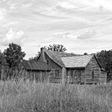
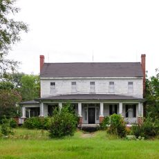
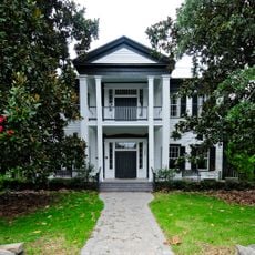
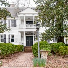
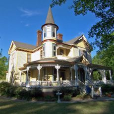
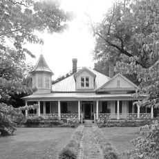
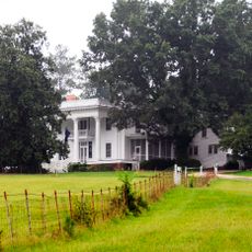
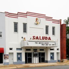
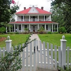
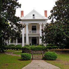
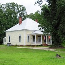
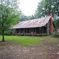
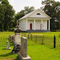
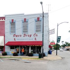
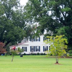
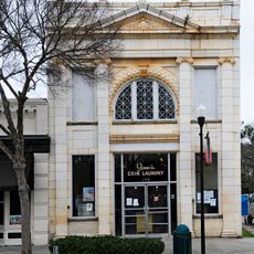
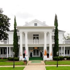
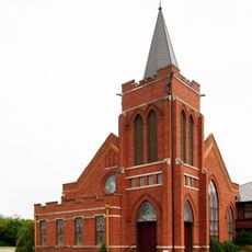
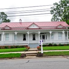
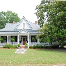
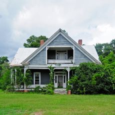
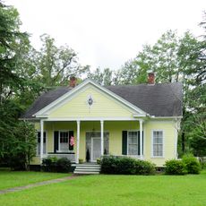
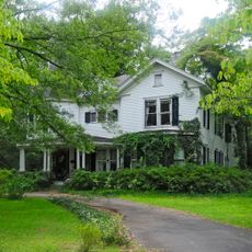
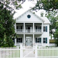
Saluda County is an administrative division in South Carolina featuring rolling hills and several waterways, including portions of Lake Murray and the Saluda River. The landscape consists of open fields, forests, and small towns scattered throughout the area.

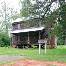
The area was home to Cherokee Indians until 1755, when an agreement with British authorities opened the territory to settlement by Scotch-Irish pioneers. These early European settlers shaped the region's development throughout the following generations.

The name comes from the Cherokee word Tsaludiyi, meaning Green Corn Place, which reflects the agricultural roots of this area. This connection to farming remains visible in how the landscape and communities are organized around the land.

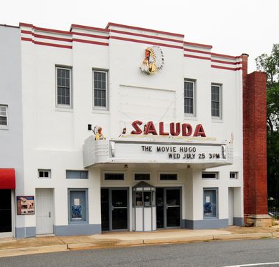
The area is best explored by car, as towns and points of interest are spread across a wide road network. Visitors should expect longer travel times between different parts of the county.

Two defenders of the Alamo, William Barrett Travis and James Butler Bonham, were born in what is now Saluda County. Their early years here shaped them before they became notable figures in Texas history.

GPS coordinates: 34.00699,-81.74314

Latest update: December 7, 2025 20:46

Photos
Around this place
Bonham House
United States of America

Bonham House

4.2 km
Edgefield Historic District
United States of America

Edgefield Historic District

20.1 km
Blocker House
United States of America

Blocker House

28.1 km
Webb-Coleman House
United States of America

Webb-Coleman House

18.3 km
Hartley House
United States of America

Hartley House

21.8 km
Cedar Grove
United States of America

Cedar Grove

28.2 km
Rawl-Couch House
United States of America

Rawl-Couch House

20.7 km
Broadus Edwards House
United States of America

Broadus Edwards House

21.2 km
Whitehall
United States of America

Whitehall

2.9 km
Saluda Theatre
United States of America

Saluda Theatre

2.7 km
Marsh-Johnson House
United States of America

Marsh-Johnson House

13.7 km
Cartledge House
United States of America

Cartledge House

20.8 km
Henry Franklin Hendrix House
United States of America

Henry Franklin Hendrix House

22.5 km
D. D. D. Barr House
United States of America

D. D. D. Barr House

21.4 km
Stevens-Dorn Farmstead
United States of America

Stevens-Dorn Farmstead

14 km
Spann Methodist Church and Cemetery
United States of America

Spann Methodist Church and Cemetery

16.8 km
Batesburg Commercial Historic District
United States of America

Batesburg Commercial Historic District

21.2 km
Old Strother Place
United States of America

Old Strother Place

12.2 km
Johnston Historic District
United States of America

Johnston Historic District

20.1 km
Leesville College Historic District
United States of America

Leesville College Historic District

23.1 km
Church Street Historic District
United States of America

Church Street Historic District

23.9 km
John Jacob Rawl House
United States of America

John Jacob Rawl House

21 km
Rev. Frank Yarborough House
United States of America

Rev. Frank Yarborough House

22.9 km
Thomas Galbraith Herbert House
United States of America

Thomas Galbraith Herbert House

22.7 km
Simon Bouknight House
United States of America

Simon Bouknight House

20.7 km
J.B. Holman House
United States of America

J.B. Holman House

21 km
Mitchell-Shealy House
United States of America

Mitchell-Shealy House

22.7 km
McKendree Mitchell House
United States of America

McKendree Mitchell House

20.7 km
Show the full map
Reviews

Visited this place? Tap the stars to rate it and share your experience / photos with the community! Try now! You can cancel it anytime.

« Saluda County - Administrative division in South Carolina, United States » is provided by Around Us (aroundus.com). Images and texts are derived from Wikimedia project under a Creative Commons license. You are allowed to copy, distribute, and modify copies of this page, under the conditions set by the license, as long as this note is clearly visible.

Discover hidden gems everywhere you go!

From secret cafés to breathtaking viewpoints, skip the crowded tourist spots and find places that match your style. Our app makes it easy with voice search, smart filtering, route optimization, and insider tips from travelers worldwide. Download now for the complete mobile experience.

Around Us App Screenshot

A unique approach to discovering new places

Le Figaro

All the places worth exploring

France Info

A tailor-made excursion in just a few clicks

20 Minutes