
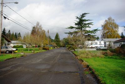
Rivergrove, city in Oregon, USA
Location: Clackamas County
Inception: 1971
Elevation above the sea: 40 m
Website: https://www.cityofrivergrove.org
Website: https://cityofrivergrove.org
GPS coordinates: 45.38528,-122.73389
Latest update: March 4, 2025 08:55
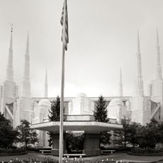
Portland Oregon Temple
4.5 km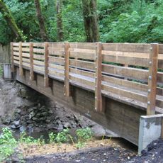
Tryon Creek State Natural Area
7.2 km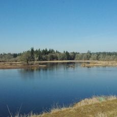
Tualatin River National Wildlife Refuge
7.7 km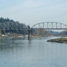
Lake Oswego Railroad Bridge
7.6 km
Lincoln Center
7.4 km
Tigard Public Library
4.8 km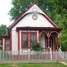
John Tigard House
5 km
The Marylhurst Art Gym
6.9 km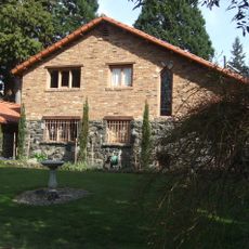
George Rogers House
6.4 km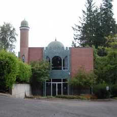
Rizwan Mosque, Portland
7.7 km
Capitol Hill Library
7 km
Elliott R. Corbett House
7.8 km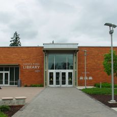
Tualatin Public Library
1.9 km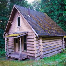
Arnold–Park Log Home
6.8 km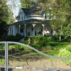
Shaver–Bilyeu House
3.4 km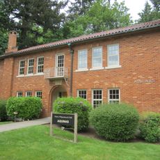
Aquinas Hall
6.6 km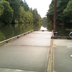
Brown's Ferry Park
307 m
Maurice Crumpacker House
7.9 km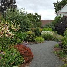
Rogerson Clematis Garden
3.8 km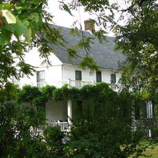
John Sweek House
2.4 km
Flavia Hall
6.9 km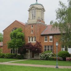
B.P. John Administrative Building
6.9 km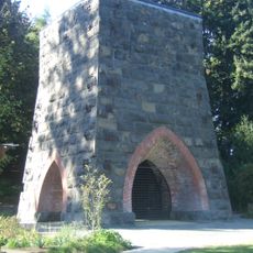
Oregon Iron Company Furnace
6.4 km
John M. and Elizabeth Bates House No. 4
2.5 km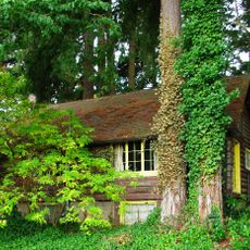
Doriot–Rider Log House
6.8 km
Joy Cinema & Pub
5.9 km
St. Anne's Chapel
6.7 km
Iron Workers' Cottage
6.3 kmReviews
Visited this place? Tap the stars to rate it and share your experience / photos with the community! Try now! You can cancel it anytime.
Discover hidden gems everywhere you go!
From secret cafés to breathtaking viewpoints, skip the crowded tourist spots and find places that match your style. Our app makes it easy with voice search, smart filtering, route optimization, and insider tips from travelers worldwide. Download now for the complete mobile experience.

A unique approach to discovering new places❞
— Le Figaro
All the places worth exploring❞
— France Info
A tailor-made excursion in just a few clicks❞
— 20 Minutes