
Mount Ararat, mountain in Pierce County, Washington, United States
Location: Washington
Location: Pierce County
Elevation above the sea: 1,833 m
GPS coordinates: 46.78927,-121.85232
Latest update: May 30, 2025 21:54
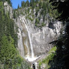
Comet Falls
5.6 km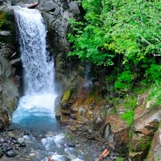
Christine Falls
5.6 km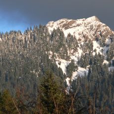
Mount Wow
4 km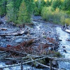
Kautz Creek
3.4 km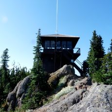
Gobbler's Knob Fire Lookout
4.8 km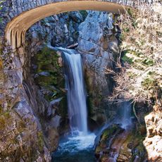
Christine Falls Bridge
5.6 km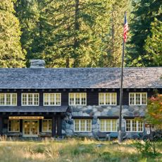
Longmire Buildings
5.3 km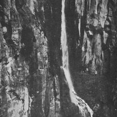
Pearl Falls
4.3 km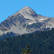
Pyramid Peak
3.6 km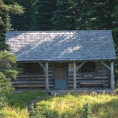
Indian Henry's Patrol Cabin
1.1 km
Van Trump Creek
5.8 km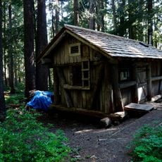
Lake George Patrol Cabin
3.8 km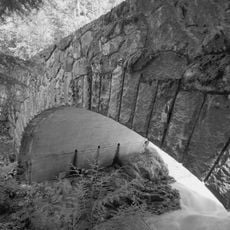
South Puyallup River Bridge
3.7 km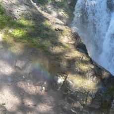
Van Trump Falls
5.4 km
Iron Mountain
1.9 km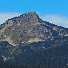
Copper Mountain
2.1 km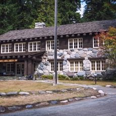
Longmire Administration Building
5.3 km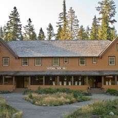
National Park Inn
5.3 km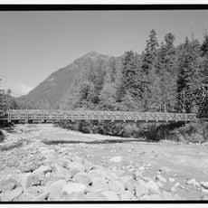
Longmire Suspension Bridge
5.6 km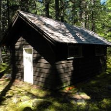
Longmire Campground Comfort Station No. L-302
5.7 km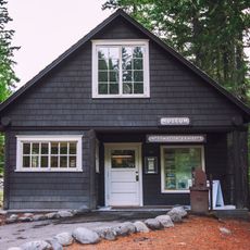
Longmire Museum
5.4 km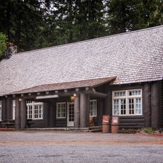
Longmire Historic District
5.3 km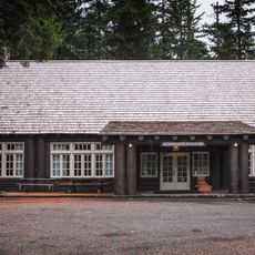
Longmire Community Building
5.7 km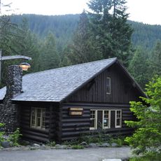
Longmire General Store
5.3 km
Longmire Library
5.4 km
Rampart Ridge Trail
5.1 km
Mount Rainier National Park Valor Memorial
5.7 km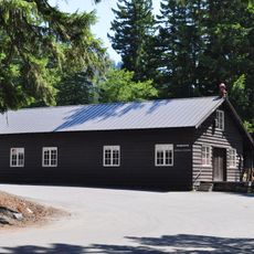
Longmire Warehouse Building
5.5 kmReviews
Visited this place? Tap the stars to rate it and share your experience / photos with the community! Try now! You can cancel it anytime.
Discover hidden gems everywhere you go!
From secret cafés to breathtaking viewpoints, skip the crowded tourist spots and find places that match your style. Our app makes it easy with voice search, smart filtering, route optimization, and insider tips from travelers worldwide. Download now for the complete mobile experience.

A unique approach to discovering new places❞
— Le Figaro
All the places worth exploring❞
— France Info
A tailor-made excursion in just a few clicks❞
— 20 Minutes