Enable Location

We need your location to show you interesting places around you

Discover nearby places

Find interesting locations and hidden gems around you

Precise directions

Get accurate directions and distances to places

Your location is never shared with other users. It's only used when you tap the location button.

Kautz Creek

Log in to your account

Start exploring — it's free

Trusted by 62,936 travelers worldwide

Continue with Google
Continue with Apple
or

We will send you a code to connect

By continuing, you accept our Terms and Conditions and our Privacy Policy

Check your inbox

We've sent a pincode in your inbox. Please enter the code below.

Kautz Creek
Discussion Reviews 1 Photos
1.8k Popularity

Kautz Creek, Mountain brook in Mount Rainier National Park, United States

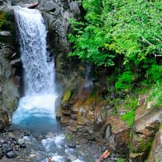
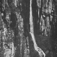
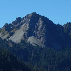
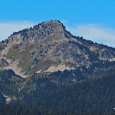
Kautz Creek is a mountain brook in Mount Rainier National Park that originates from the Kautz Glacier and flows through deeply cut channels down the mountainside. The waterway merges with the Nisqually River, forming a major drainage system for the surrounding area.

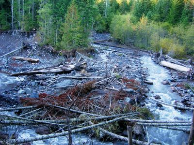
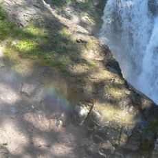
The creek was carved by continuous glacial meltwater flowing down the mountainside over thousands of years. A catastrophic flood in 1947 reshaped the landscape, leaving behind a much wider and deeper channel than before.

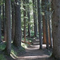
The interpretive trail near the creek presents information about Mount Rainier's geological forces and their impact on the surrounding environment.

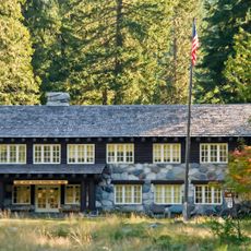
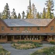
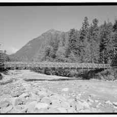
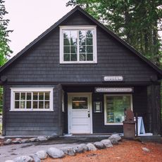
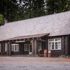
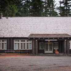
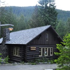
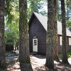
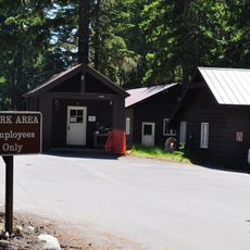
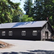
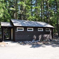
Visitors can reach the area via the Wonderland Trail, which connects several mountain camps and offers various route options. Basic facilities are available, and it is wise to check current conditions before heading out.

The streambed constantly shifts its course during periods of heavy discharge from glacial melt. In certain sections, the banks rise more than 20 meters above the water level, revealing the tremendous erosive power at work.

The community of curious travelers

AroundUs brings together thousands of curated places, local tips, and hidden gems, enriched daily by 60,000 contributors worldwide.

Start exploring
Location
GPS coordinates
46.77203,-121.81520
Latest update
December 14, 2025 12:27
Around this place
Christine Falls
United States of America

Christine Falls

2.9 km
Christine Falls Bridge
United States of America

Christine Falls Bridge

2.9 km
Longmire Buildings
United States of America

Longmire Buildings

2.4 km
Pearl Falls
United States of America

Pearl Falls

3.5 km
Indian Henry's Patrol Cabin
United States of America

Indian Henry's Patrol Cabin

3.1 km
Eagle Peak
United States of America

Eagle Peak

3.3 km
Van Trump Falls
United States of America

Van Trump Falls

3.4 km
United States of America

Iron Mountain

2.5 km
Chutla Peak
United States of America

Chutla Peak

3.8 km
Copper Mountain
United States of America

Copper Mountain

3 km
Longmire Service Station
United States of America

Longmire Service Station

2.5 km
Longmire Administration Building
United States of America

Longmire Administration Building

2.4 km
National Park Inn
United States of America

National Park Inn

2.5 km
Longmire Suspension Bridge
United States of America

Longmire Suspension Bridge

2.6 km
Longmire Campground Comfort Station No. L-302
United States of America

Longmire Campground Comfort Station No. L-302

2.9 km
Longmire Campground Comfort Station No. L-303
United States of America

Longmire Campground Comfort Station No. L-303

3.1 km
Longmire Museum
United States of America

Longmire Museum

2.5 km
Longmire Historic District
United States of America

Longmire Historic District

2.5 km
Longmire Community Building
United States of America

Longmire Community Building

2.9 km
Longmire General Store
United States of America

Longmire General Store

2.5 km
Longmire Library
United States of America

Longmire Library

2.5 km
Rampart Ridge Trail
United States of America

Rampart Ridge Trail

2.4 km
Cougar Rock Campground
United States of America

Cougar Rock Campground

1.7 km
Longmire Oil House
United States of America

Longmire Oil House

2.6 km
Mount Rainier National Park Valor Memorial
United States of America

Mount Rainier National Park Valor Memorial

2.9 km
Longmire Warehouse Building‎
United States of America

Longmire Warehouse Building‎

2.6 km
Mather Plaque in Longmire
United States of America

Mather Plaque in Longmire

2.4 km
Longmire Comfort Station
United States of America

Longmire Comfort Station

2.5 km
Show the full map
Reviews
Share your experience

No review yet

Discussions
Start a discussion...

No discussion yet

« Kautz Creek - Mountain brook in Mount Rainier National Park, United States » is provided by Around Us (aroundus.com). Images and texts are derived from Wikimedia project under a Creative Commons license. You are allowed to copy, distribute, and modify copies of this page, under the conditions set by the license, as long as this note is clearly visible.

Discover hidden gems everywhere you go!

From secret cafés to breathtaking viewpoints, skip the crowded tourist spots and find places that match your style. Our app makes it easy with voice search, smart filtering, route optimization, and insider tips from travelers worldwide. Download now for the complete mobile experience.

Around Us App Screenshot

A unique approach to discovering new places

Le Figaro

All the places worth exploring

France Info

A tailor-made excursion in just a few clicks

20 Minutes

Around Us
Travel Guide & Maps
Download

Send to your phone

QR Code
1

Open the camera app on your mobile.

2

Point at the QR code with your camera. A notification will appear.

3

Tap the notification to open the link.