Enable Location

We need your location to show you interesting places around you

Discover nearby places

Find interesting locations and hidden gems around you

Precise directions

Get accurate directions and distances to places

Your location is never shared with other users. It's only used when you tap the location button.

Cougar Rock Campground

Log in to your account

Start exploring — it's free

Trusted by 61,682 travelers worldwide

Continue with Google
Continue with Apple
or

We will send you a code to connect

By continuing, you accept our Terms and Conditions and our Privacy Policy

Check your inbox

We've sent a pincode in your inbox. Please enter the code below.

Cougar Rock Campground

Cougar Rock Campground, Camping area in Mount Rainier National Park, Pierce County, US.

Description

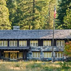
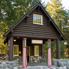
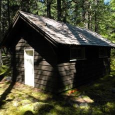
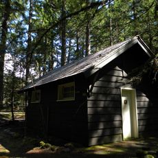
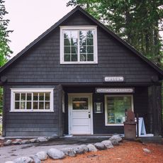
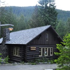
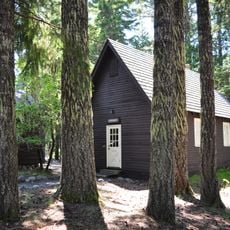
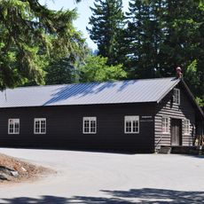
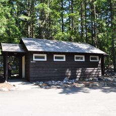
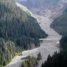
Cougar Rock Campground is a camping area in Mount Rainier National Park with 173 sites set at 3,180 feet elevation, surrounded by thick forest and near the Nisqually River. The basic campsites have access to drinking water and toilets, but offer no electricity or shower facilities.

History

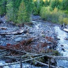
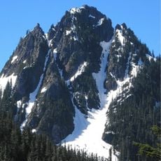
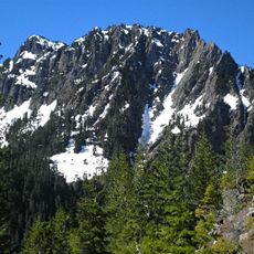
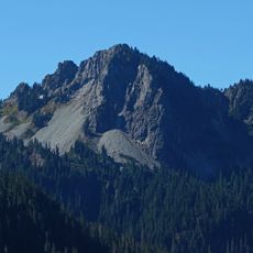
The campground was developed as part of Mount Rainier National Park to provide visitor access to this volcanic landscape. The mountain itself shows evidence of activity during the 1800s, shaping the geological story of the area.

Culture

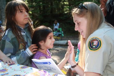
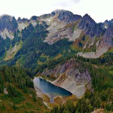
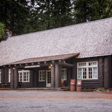
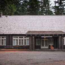
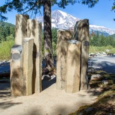
The amphitheater here hosts ranger talks about local ecology and mountain geology that help visitors understand the landscape around them. These programs connect people to the forces that shaped this forest and the animals that live here today.

Practical

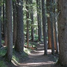
The campground sits along a popular hiking route and fills up quickly during summer months, so booking ahead helps. The forest provides good shade, which helps on hot days, but also means the sun rises late and sets early among the trees.

Did you know?

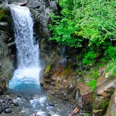
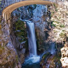
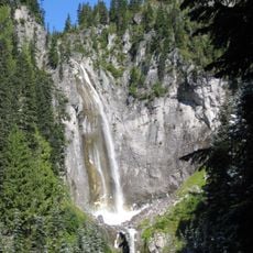
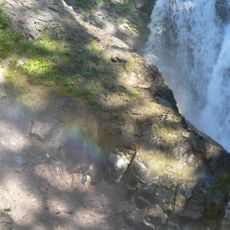
The Wonderland Trail, a 150 km loop, starts or connects near here and circles the entire mountain. Along the way you pass numerous waterfalls including Carter, Madcap, and Narada, making it a special trek.

Location
GPS coordinates
46.76734,-121.79429
Latest update
December 15, 2025 13:28

AroundUs brings together thousands of curated places, local tips, and hidden gems, enriched daily by 60,000 contributors worldwide. Discover all places nearby (Pierce County).

Around this place
Christine Falls
United States of America

Christine Falls

1.9 km
Kautz Creek
United States of America

Kautz Creek

1.7 km
Christine Falls Bridge
United States of America

Christine Falls Bridge

1.9 km
Longmire Buildings
United States of America

Longmire Buildings

2.3 km
Van Trump Creek
United States of America

Van Trump Creek

3.2 km
Lane Peak
United States of America

Lane Peak

3.3 km
Eagle Peak
United States of America

Eagle Peak

1.7 km
Van Trump Falls
United States of America

Van Trump Falls

2.9 km
Chutla Peak
United States of America

Chutla Peak

2.2 km
Wahpenayo Peak
United States of America

Wahpenayo Peak

3.1 km
Longmire Service Station
United States of America

Longmire Service Station

2.4 km
Longmire Administration Building
United States of America

Longmire Administration Building

2.3 km
National Park Inn
United States of America

National Park Inn

2.5 km
Longmire Suspension Bridge
United States of America

Longmire Suspension Bridge

2.3 km
Longmire Campground Comfort Station No. L-302
United States of America

Longmire Campground Comfort Station No. L-302

2.7 km
Longmire Campground Comfort Station No. L-303
United States of America

Longmire Campground Comfort Station No. L-303

2.8 km
Longmire Museum
United States of America

Longmire Museum

2.4 km
Longmire Historic District
United States of America

Longmire Historic District

2.4 km
Longmire Community Building
United States of America

Longmire Community Building

2.6 km
Longmire General Store
United States of America

Longmire General Store

2.5 km
Longmire Library
United States of America

Longmire Library

2.4 km
Rampart Ridge Trail
United States of America

Rampart Ridge Trail

2.5 km
Longmire Oil House
United States of America

Longmire Oil House

2.4 km
Mount Rainier National Park Valor Memorial
United States of America

Mount Rainier National Park Valor Memorial

2.7 km
Longmire Warehouse Building‎
United States of America

Longmire Warehouse Building‎

2.4 km
Mather Plaque in Longmire
United States of America

Mather Plaque in Longmire

2.3 km
Longmire Comfort Station
United States of America

Longmire Comfort Station

2.4 km
Nisqually Glacier Bridge
United States of America

Nisqually Glacier Bridge

2.9 km
Show the full map
« Cougar Rock Campground - Camping area in Mount Rainier National Park, Pierce County, US » is provided by Around Us (aroundus.com). Images and texts are derived from Wikimedia project under a Creative Commons license. You are allowed to copy, distribute, and modify copies of this page, under the conditions set by the license, as long as this note is clearly visible.

Discover hidden gems everywhere you go!

From secret cafés to breathtaking viewpoints, skip the crowded tourist spots and find places that match your style. Our app makes it easy with voice search, smart filtering, route optimization, and insider tips from travelers worldwide. Download now for the complete mobile experience.

Around Us App Screenshot

A unique approach to discovering new places

Le Figaro

All the places worth exploring

France Info

A tailor-made excursion in just a few clicks

20 Minutes

Around Us
Travel Guide & Maps
Download

Send to your phone

QR Code
1

Open the camera app on your mobile.

2

Point at the QR code with your camera. A notification will appear.

3

Tap the notification to open the link.