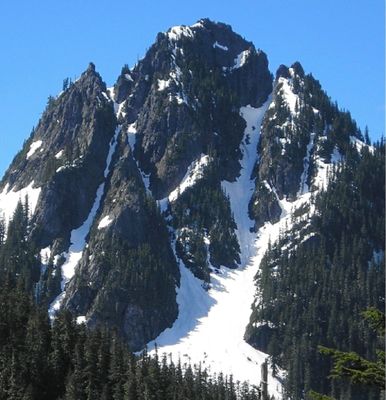
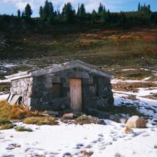
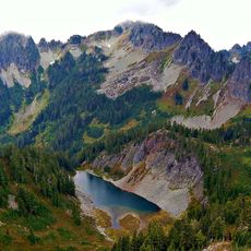
Lane Peak, Mountain summit in Mount Rainier National Park, US
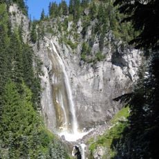
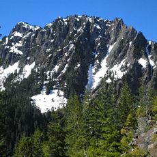
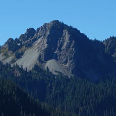
Lane Peak is a summit in the Tatoosh Range within Mount Rainier National Park, reaching 6,012 feet (1,833 m) in elevation. The north side features steep rocky faces with three prominent climbing couloirs that draw technical climbers to the mountain.
The peak was named after Franklin Knight Lane, who served as US Secretary of the Interior from 1913 to 1920 and oversaw the establishment of the National Park Service. The naming honors his role in protecting and managing the nation's parklands.
The mountain stands as an intermediate climbing destination within Mount Rainier National Park, offering routes such as Lovers Lane and The Zipper for technical ascents.
The best time to visit is during warmer months when snow melts and access from Reflection Lake is clear. Plan for difficult terrain and bring appropriate climbing gear if attempting the technical routes.
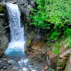
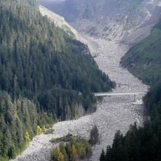
The peak's water systems divide naturally, with the south side draining toward the Cowlitz River while the north side flows toward the Nisqually River. This watershed split creates two distinct water systems that define the mountain's geography.
The community of curious travelers
AroundUs brings together thousands of curated places, local tips, and hidden gems, enriched daily by 60,000 contributors worldwide.