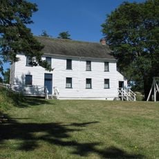
Esquimalt, District municipality and railway point in Capital Regional District, British Columbia, Canada.
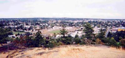
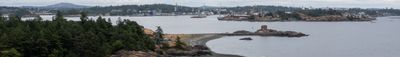
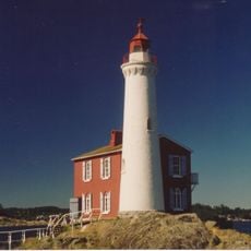
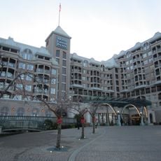
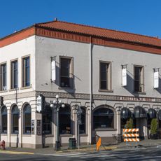
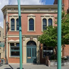
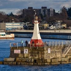
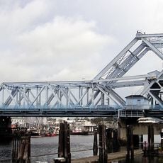
Esquimalt is a district municipality on the southern tip of Vancouver Island, positioned between Victoria to the east and the Strait of Juan de Fuca to the south. The area combines coastal land with military installations alongside residential neighborhoods and community spaces.
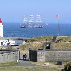
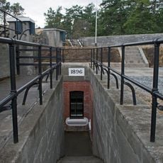
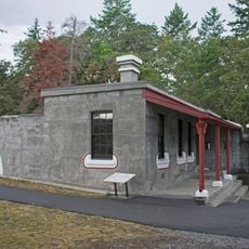
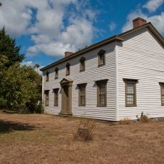
British Royal Navy facilities were established in 1855 to treat soldiers from the Crimean War, forming the initial European settlement. Military presence shaped its development and remained a defining feature across generations.
The name Esquimalt comes from the Lekwungen language of the Songhees Nation and refers to brackish water in their traditional territory. The area maintained its connection to the region's Indigenous people even as European settlers arrived later.
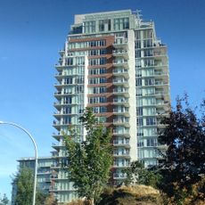
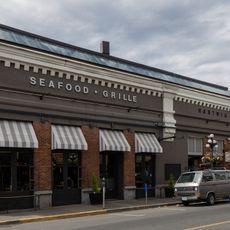
The area is readily accessible by public transportation and offers access to beaches, parks, and community facilities for both visitors and residents. Most local services and amenities are located in central or easily reached areas.
The Royal Navy seized original Lekwungen territory here during the 1800s for military purposes. This takeover and subsequent use reveal the complicated history between European powers and the region's Indigenous peoples.
Location: Capital Regional District
Elevation above the sea: 10 m
Shares border with: Saanich, Victoria, View Royal, Colwood
Website: http://esquimalt.ca
GPS coordinates: 48.43056,-123.41472
Latest update: December 7, 2025 19:22
Galloping Goose Regional Trail
3.2 km
Fort Rodd Hill National Historic Site
2.8 km
Fisgard Lighthouse
2.4 km
Pacific Undersea Gardens
3.4 km
Point Ellice Bridge Disaster
2.7 km
Craigflower Manor and Schoolhouse
2.5 km
Old Victoria Custom House
3.4 km
Hotel Grand Pacific
3.3 km
Esquimalt and Nanaimo Railway Roundhouse
2.5 km
223 Robert Street
1.9 km
1114 Arthur Currie Lane
2.4 km
British Columbia Time Capsule
3.4 km
Morley's Soda Water Factory
3.4 km
Odd Fellows Hall
3.4 km
Burnes House
3.4 km
Rithet Building
3.4 km
Lim Dat Building
3.4 km
Macdonald Block
3.4 km
Ogden Point Breakwater Lighthouse
2.4 km
Johnson Street Bridge
3.2 km
Craigflower Schoolhouse
2.5 km
Promontory
2.6 km
Finlayson Building
3.3 km
Fort Rodd Hill upper battery gun emplacement and magazine
2.9 km
Fort Rodd Hill upper battery guardhouse
2.9 km
Station Hotel
3.4 km
505-511 Pandora Avenue
3.4 km
Craigflower Manor
2.5 kmVisited this place? Tap the stars to rate it and share your experience / photos with the community! Try now! You can cancel it anytime.
Discover hidden gems everywhere you go!
From secret cafés to breathtaking viewpoints, skip the crowded tourist spots and find places that match your style. Our app makes it easy with voice search, smart filtering, route optimization, and insider tips from travelers worldwide. Download now for the complete mobile experience.
A unique approach to discovering new places❞
— Le Figaro
All the places worth exploring❞
— France Info
A tailor-made excursion in just a few clicks❞
— 20 Minutes