Point Roberts, Census-designated place in Whatcom County, United States
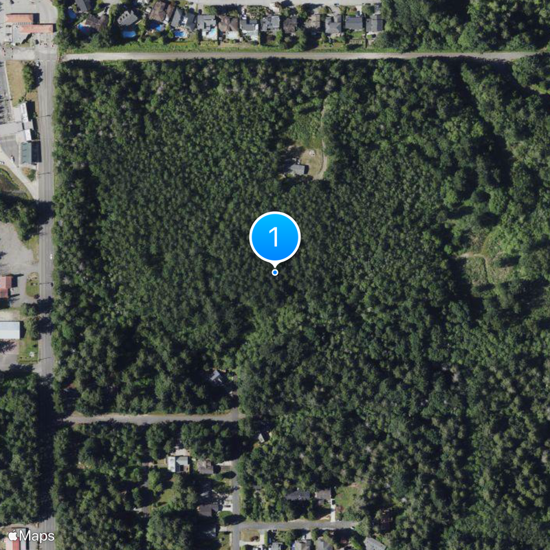
Point Roberts is a census-designated place in Whatcom County entirely surrounded by Canadian mainland and accessible only by crossing the international border through British Columbia. The community covers about 4.9 square miles (12.6 square kilometers) between Boundary Bay to the west and the Strait of Georgia to the east.
The Oregon Treaty of 1846 set the international boundary along the 49th parallel and separated this peninsula from the Canadian mainland. The unusual geographic situation arose from this strict geometric division without regard for the natural coastline.
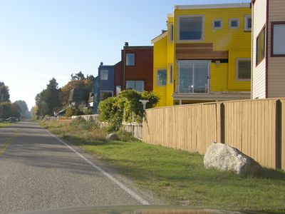
The original Coast Salish name q̓ʷulƛ̕əl̕ refers to this peninsula as a fishing ground used by Indigenous communities for generations. Today residents gather near the marina and along the shoreline for small-scale recreation and quiet walks by the water.
Visitors traveling by car cross two border checkpoints between the United States and Canada on a route of roughly 25 miles (40 kilometers) through British Columbia. Roads are well maintained and pass through rural areas with occasional small communities.
Children attend the local elementary school and must travel either into Canada or to the town of Blaine on the American mainland for secondary education. This double border crossing becomes part of everyday routine for many families and shapes life on the peninsula.
The community of curious travelers
AroundUs brings together thousands of curated places, local tips, and hidden gems, enriched daily by 60,000 contributors worldwide.