
South Rim, cliff in Coconino County, Arizona, United States of America
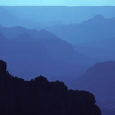
Grand Canyon National Park
15.9 km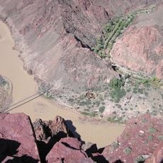
South Kaibab Trail
12.8 km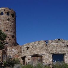
Desert View Watchtower
14.4 km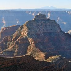
Vishnu Temple
12 km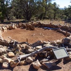
Tusayan Ruins
9.8 km
Big E Steakhouse & Saloon
14.3 km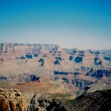
Grandview Trail
2.3 km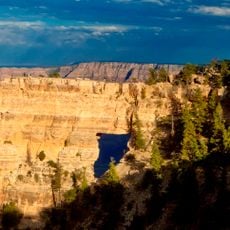
Cape Royal Trail
15.4 km
Grandview Mine
3.8 km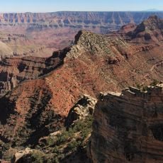
Freya Castle
14.3 km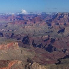
Newton Butte
11.4 km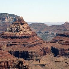
Rama Shrine
11.2 km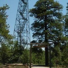
Grandview Lookout Tower and Cabin
3.3 km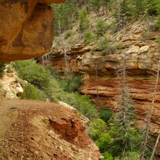
Cliff Spring Trail
15.7 km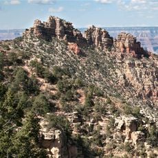
Sinking Ship
1.1 km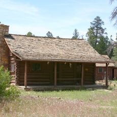
Hull Cabin Historic District
2.7 km
Grand Canyon Visitor Center
15.2 km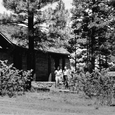
Moqui Ranger Station
13.7 km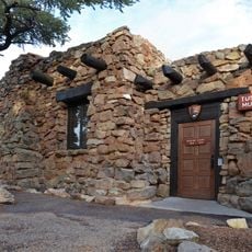
Tusayan Museum
9.7 km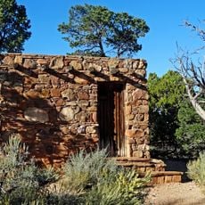
Desert View Watchtower Historic District
14.3 km
Hull Tank Lookout Tree
5 km
Tusayan Lookout Tree
15.2 km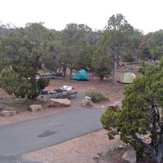
Desert View Campground
14.4 km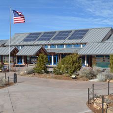
Grand Canyon Visitor Center
15.2 km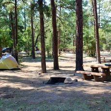
Mather Campground
15.3 km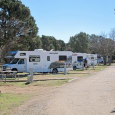
Trailer Village
15.2 km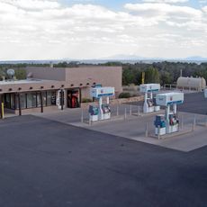
Desert View Gas Station
14.2 km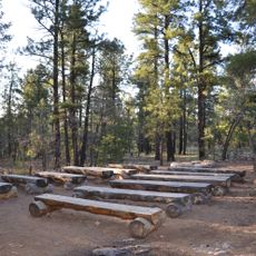
Mather Campground Amphitheater
15.5 kmReviews
Visited this place? Tap the stars to rate it and share your experience / photos with the community! Try now! You can cancel it anytime.
Discover hidden gems everywhere you go!
From secret cafés to breathtaking viewpoints, skip the crowded tourist spots and find places that match your style. Our app makes it easy with voice search, smart filtering, route optimization, and insider tips from travelers worldwide. Download now for the complete mobile experience.

A unique approach to discovering new places❞
— Le Figaro
All the places worth exploring❞
— France Info
A tailor-made excursion in just a few clicks❞
— 20 Minutes