
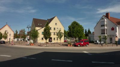
Lingenfeld, municipality in Germany
Location: Lingenfeld
Elevation above the sea: 104 m
Shares border with: Germersheim, Westheim
Website: http://lingenfeld.de
GPS coordinates: 49.24528,8.34417
Latest update: March 9, 2025 06:37
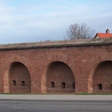
Festung Germersheim
3.6 km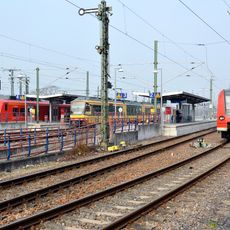
Germersheim station
2.6 km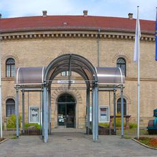
Deutsches Straßenmuseum Germersheim
3.5 km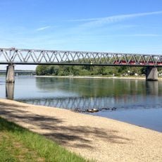
Rhine Bridge, Germersheim
4.2 km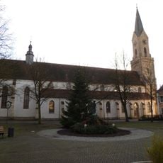
St.-Jakobus-Kirche
3.4 km
Jagdschloss Friedrichsbühl
5.5 km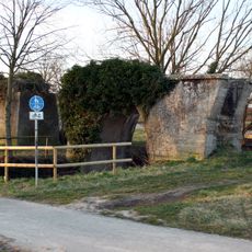
Betonbrücke
5.1 km
Ziegeleimuseum Sondernheim
6.7 km
Rußheimer Altrhein-Elisabethenwört
6.8 km
St. Vitus
5 km
Synagoge Germersheim
3.6 km
Polder Rheinschanzinsel
8 km
Versöhnungskirche (Germersheim)
3.5 km
Rudolf-von-Habsburg-Brücke
3.6 km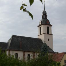
Friedenskirche
4.5 km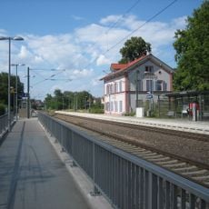
Sondernheim station
5.7 km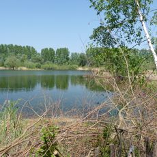
Mechtersheimer Tongruben
5.7 km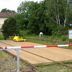
Lustadt train station
4.8 km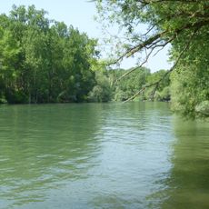
Schwarzwald
4 km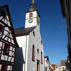
Evangelische Kirche Westheim
1.6 km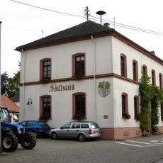
Weingarten Town Hall
4.4 km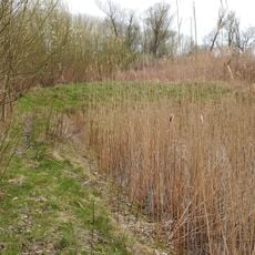
Im Willig
6.3 km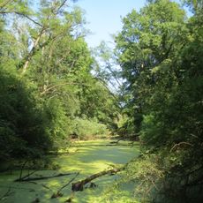
Brückenkopf
4.6 km
Woogwiesen
6.9 km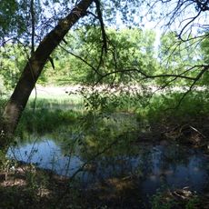
Schafwiesen
6.7 km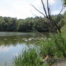
Rußheimer Altrhein
5.3 km
Flotzgrün
7 km
Sondernheimer Tongruben
6.5 kmVisited this place? Tap the stars to rate it and share your experience / photos with the community! Try now! You can cancel it anytime.
Discover hidden gems everywhere you go!
From secret cafés to breathtaking viewpoints, skip the crowded tourist spots and find places that match your style. Our app makes it easy with voice search, smart filtering, route optimization, and insider tips from travelers worldwide. Download now for the complete mobile experience.

A unique approach to discovering new places❞
— Le Figaro
All the places worth exploring❞
— France Info
A tailor-made excursion in just a few clicks❞
— 20 Minutes