
Loriges, commune in Allier, France
Location: Allier
Location: arrondissement of Moulins
Industry: administration publique générale
Shares border with: Bayet, Marcenat, Paray-sous-Briailles, Saint-Didier-la-Forêt, Saint-Pourçain-sur-Sioule
Phone: +33470454567
Email: mairie-loriges@wanadoo.fr
Website: http://loriges.com
GPS coordinates: 46.26917,3.34667
Latest update: March 24, 2025 15:18
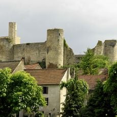
Château de Billy
7.3 km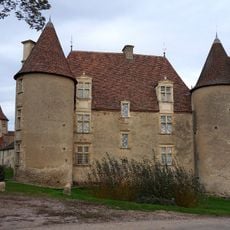
Château de Chareil-Cintrat
9.4 km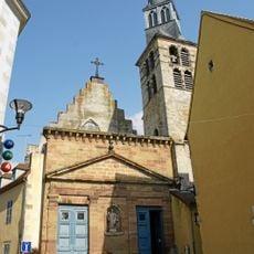
Église Sainte-Croix de Saint-Pourçain-sur-Sioule
6.1 km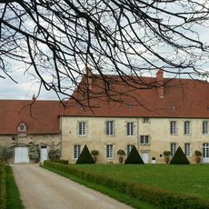
Château de Bompré
8.1 km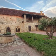
Abbaye Saint-Gilbert de Neuffontaines
2.4 km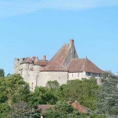
Château de Montfand
9.1 km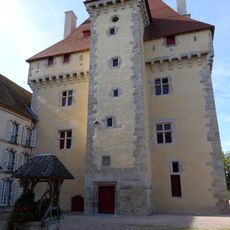
Château de Gayette
8.4 km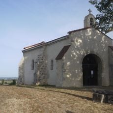
Chapelle Notre-Dame de Briailles
4 km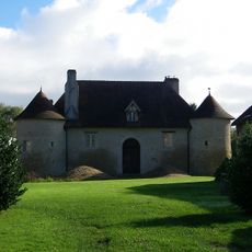
Château de Chambon
8.9 km
Prieuré d'Aubeterre
8.6 km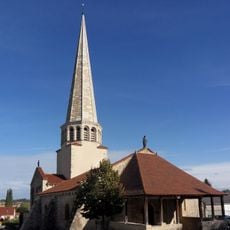
Église Saint-Julien de Saulcet
9 km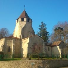
Église Saint-Pourçain de Louchy-Montfand
8.9 km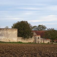
Château d'Artangues
9.4 km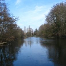
Arboretum de l'Ile de la Ronde
5.8 km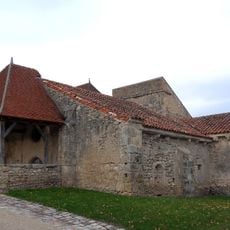
Église Saint-Blaise de Chareil
9.4 km
Église Saint-Marcel de Bayet
6.5 km
Beffroi de Saint-Pourçain-sur-Sioule
6.1 km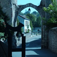
Ancienne porte de ville de Billy
7.4 km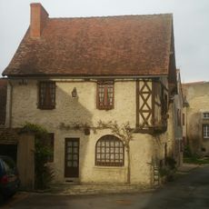
Maison du Marchand
7.4 km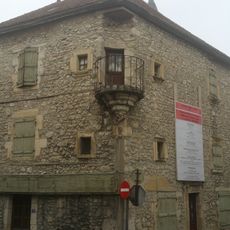
Watchtower house (Billy)
7.3 km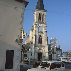
Église Sainte-Croix de Varennes-sur-Allier
6.4 km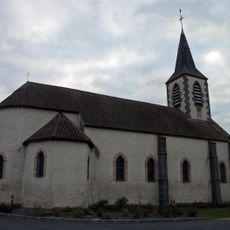
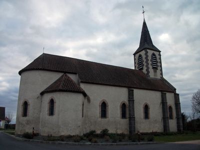
Église Saint-Austremoine de Loriges
26 m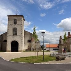
Église Sainte-Marie-Madeleine de Rongères
8.5 km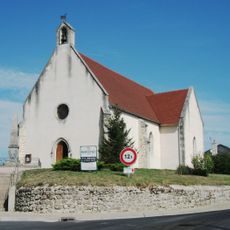
Église Saint-Martin de Marcenat
5.4 km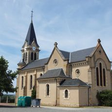
Église Saint-Didier de Saint-Didier-la-Forêt
4.8 km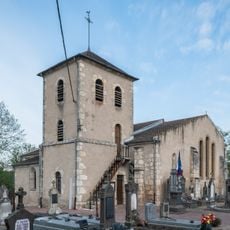
Église Saint-Germain de Crechy
5.8 km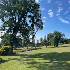
Golf de Briailles
3.7 km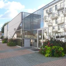
Médiathèque de Varennes-sur-Allier
6.6 kmVisited this place? Tap the stars to rate it and share your experience / photos with the community! Try now! You can cancel it anytime.
Discover hidden gems everywhere you go!
From secret cafés to breathtaking viewpoints, skip the crowded tourist spots and find places that match your style. Our app makes it easy with voice search, smart filtering, route optimization, and insider tips from travelers worldwide. Download now for the complete mobile experience.

A unique approach to discovering new places❞
— Le Figaro
All the places worth exploring❞
— France Info
A tailor-made excursion in just a few clicks❞
— 20 Minutes