Chest opened
+${chestReward.xp} XP
Explorer
NOUVEAU ×${chestReward.collectible.quantity}
tapez pour fermer
Chest locked

Open chests in the app

Around Us is built for your phone — chests unlock when you walk, explore and capture nearby places.

Enable Location

We need your location to show you interesting places around you

Discover nearby places

Find interesting locations and hidden gems around you

Precise directions

Get accurate directions and distances to places

Your location is never shared with other users. It's only used when you tap the location button.

Richfield

Log in to your account

Start exploring — it's free

Trusted by 72,887 travelers worldwide

Continue with Google
Continue with Apple
or

We will send you a code to connect

By continuing, you accept our Terms and Conditions and our Privacy Policy

Check your inbox

We've sent a pincode in your inbox. Please enter the code below.

Discussion Reviews 2 Photos
30.8k Popularity

Richfield, County seat in central Utah, United States.

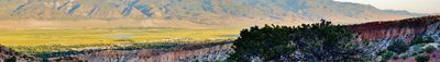
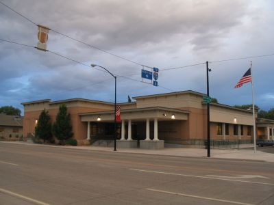
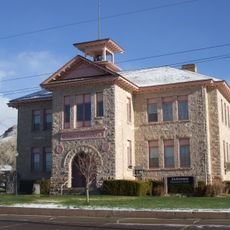
Richfield is the main administrative and business center of central southern Utah in Sevier County. Located at about 1,630 meters (5,350 feet) elevation, the city functions as a hub for services, lodging, and supplies across this remote region.

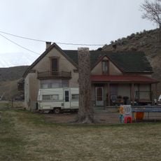
Settlers founded the town in 1864 after discovering the area's fertile soil. The community was abandoned temporarily in 1867 during the Black Hawk War, but residents returned and gradually rebuilt it into a regional center.

The name reflects the rich farmland that drew the first settlers to this region. This agricultural heritage still shapes how residents connect with the land and local economy today.

The city sits conveniently along the route between Los Angeles and Denver for travelers needing lodging and meals. Essential services and supplies are easily found, making it a practical stop for visitors traveling through the area.

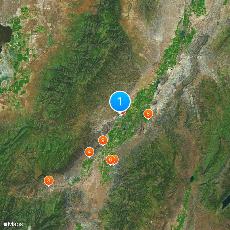
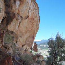
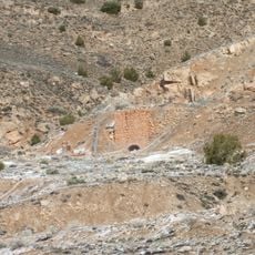
Nearby, the Paiute ATV Trail winds through forested mountains and connects multiple small communities across a long distance. This route offers adventurous travelers a way to cross the varied landscape of this region.

The community of curious travelers

AroundUs brings together thousands of curated places, local tips, and hidden gems, enriched daily by 60,000 contributors worldwide.

Start exploring
Location
Inception
1864
Elevation above the sea
1,632 m
Shares border with
Scipio, Central Valley
GPS coordinates
38.76583,-112.08750
Latest update
December 20, 2025 01:58
Around this place
Mystic Hot Springs
United States of America

Mystic Hot Springs

14.8 km
Fremont Indian State Park and Museum
United States of America

Fremont Indian State Park and Museum

30 km
Joseph William Parker Farm
United States of America

Joseph William Parker Farm

15.4 km
Richfield Carnegie Library
United States of America

Richfield Carnegie Library

516 m
Monroe Presbyterian Church
United States of America

Monroe Presbyterian Church

15 km
Jens Larson Jenson Lime Kiln
United States of America

Jens Larson Jenson Lime Kiln

3.1 km
Martin Johnson House
United States of America

Martin Johnson House

8.5 km
Elsinore White Rock Schoolhouse
United States of America

Elsinore White Rock Schoolhouse

10.3 km
Salina Presbyterian Church
United States of America

Salina Presbyterian Church

29 km
Fillmore City Cemetery
United States of America

Fillmore City Cemetery

28.8 km
Soren Simonsen House
United States of America

Soren Simonsen House

14.9 km
Kanosh Tithing Office
United States of America

Kanosh Tithing Office

30.5 km
Monroe City Hall
United States of America

Monroe City Hall

15.1 km
Fillmore American Legion Hall
United States of America

Fillmore American Legion Hall

30.4 km
Peterson–Burr House
United States of America

Peterson–Burr House

29 km
United States of America

Dell Lott Hollow

21.6 km
Territorial Statehouse State Park Museum
United States of America

Territorial Statehouse State Park Museum

30.4 km
Millard County Courthouse
United States of America

Millard County Courthouse

30.4 km
United States of America

Rex Reservoir

27.3 km
United States of America

Devils Castle

19 km
United States of America

Rocky Ford Reservoir

15.1 km
United States of America

Boobe Hole Reservoir

26.4 km
United States of America

Magelby Reservoir

22.6 km
Koosharem Reservoir
United States of America

Koosharem Reservoir

28.2 km
United States of America

Purgatory

25 km
United States of America

Clear Creek Canyon

31.2 km
United States of America

The Brink

21.3 km
United States of America

Cemetery Wildlife Management Area

26.3 km
Show the full map
Reviews
Share your experience

No review yet

Discussions
Start a discussion...

No discussion yet

« Richfield - County seat in central Utah, United States » is provided by Around Us (aroundus.com). Images and texts are derived from Wikimedia project under a Creative Commons license. You are allowed to copy, distribute, and modify copies of this page, under the conditions set by the license, as long as this note is clearly visible.

Discover hidden gems everywhere you go!

From secret cafés to breathtaking viewpoints, skip the crowded tourist spots and find places that match your style. Our app makes it easy with voice search, smart filtering, route optimization, and insider tips from travelers worldwide. Download now for the complete mobile experience.

Around Us App Screenshot

A unique approach to discovering new places

Le Figaro

All the places worth exploring

France Info

A tailor-made excursion in just a few clicks

20 Minutes

Around Us
Travel Guide & Maps
Download

Send to your phone

QR Code
1

Open the camera app on your mobile.

2

Point at the QR code with your camera. A notification will appear.

3

Tap the notification to open the link.