
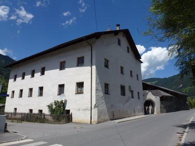
Unterer Turm/Turm in der Breite, Denkmalgeschütztes Objekt in Prutz (39953)
Location: Prutz
Address: Prutz 39
GPS coordinates: 47.07764,10.66567
Latest update: March 4, 2025 21:25
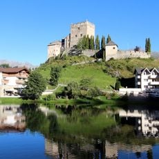
Laudegg Castle
1 km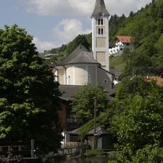
Pfarrkirche hl. Martin
1.2 km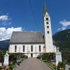
Kath. Pfarrkirche Maria Himmelfahrt, Prutz
183 m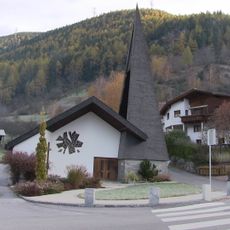
Mariahilfkapelle Unterfaggen
651 m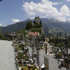
Friedhof Ladis
1.2 km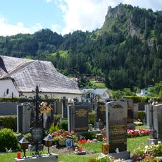
Friedhof Prutz
172 m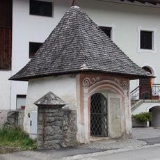
Kaltenbrunnerkapelle, Prutz
360 m
Cemetery chapel, Chapel of the Dead
173 m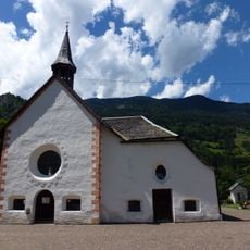
Kapelle hl. Johannes/Philomenakapelle
169 m
Weiße-Haus-Kapelle
1 km
Heiselerhof, Ladis
1.2 km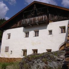
Bauernhaus Platte 1, Ladis
1.2 km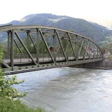
Prutzer Innbrücke
357 m
Prutz - Beim Winkl
135 m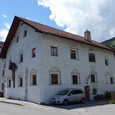
Bauernhaus, Tragseilerhaus
91 m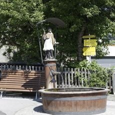
Nepomukbrunnen
1.2 km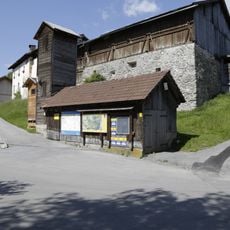
Altes Feuerwehrgebäude
1.2 km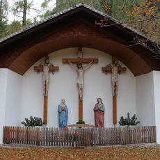
Kalvarienberg Entbruck, Prutz
592 m
Kalvarienberg
1.2 km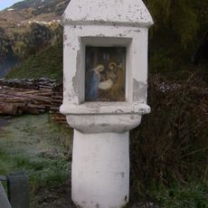
Tabernakelpfeiler
772 m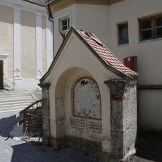
Kriegerdenkmal
1.2 km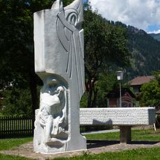
Kriegerdenkmal
167 m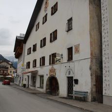
Bürgerhaus 13, Prutz
271 m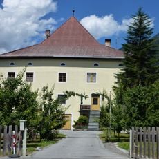
Oberer Turm/Turm im Felde
128 m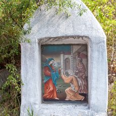
Bildstock
679 m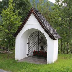
Nepomukbildstock Prutz
411 m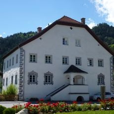
Widum Prutz
178 m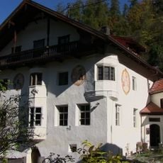
Gasthaus Ehemaliger Faggenwirt
656 mReviews
Visited this place? Tap the stars to rate it and share your experience / photos with the community! Try now! You can cancel it anytime.
Discover hidden gems everywhere you go!
From secret cafés to breathtaking viewpoints, skip the crowded tourist spots and find places that match your style. Our app makes it easy with voice search, smart filtering, route optimization, and insider tips from travelers worldwide. Download now for the complete mobile experience.

A unique approach to discovering new places❞
— Le Figaro
All the places worth exploring❞
— France Info
A tailor-made excursion in just a few clicks❞
— 20 Minutes