
Gräberfeld An der Höhe, building in Mannersdorf am Leithagebirge, Austria
Location: Mannersdorf am Leithagebirge
Address: An der Höhe
GPS coordinates: 48.00391,16.58164
Latest update: April 29, 2025 15:33
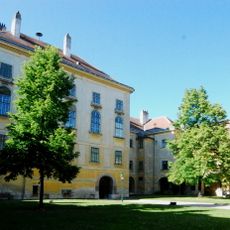
Schloss Mannersdorf am Leithagebirge
3.7 km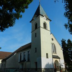
Kath. Pfarrkirche hl. Stephan
1 km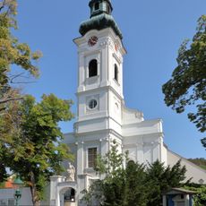
Martinskirche
4 km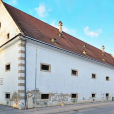
Schüttkasten Mannersdorf am Leithagebirge
3.8 km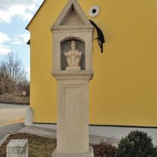
Bildstock
3.9 km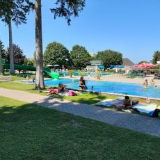
Thermalbad
3.9 km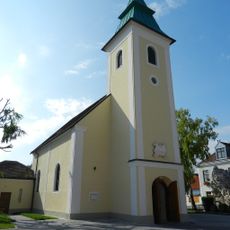
Kath. Filialkirche hl. Rosalia
1.1 km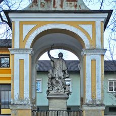
Nepomuk-Kapelle, Mannersdorf am Leithagebirge
3.9 km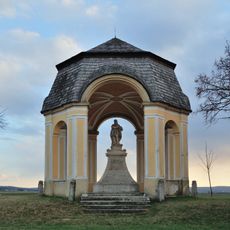
Donatuskapelle, Mannersdorf am Leithagebirge
3.3 km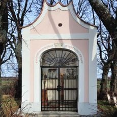
Weinbergkapelle, Plesslkapelle, Kapelle zum Roten Kreuz
3.9 km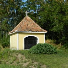
Kapelle
1.8 km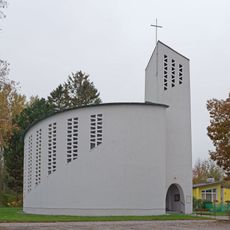
St. Joseph the worker church
2.9 km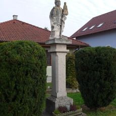
Figurenbildstock hl. Florian
4 km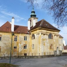
Perlmooser-Hof, Mannersdorf am Leithagebirge
3.9 km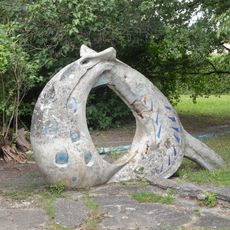
Spielplastik Rutsche mit Planschbecken, ehem. Werkssiedlung
3.1 km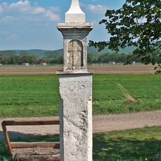
Bildstock, Weißes Kreuz
1.9 km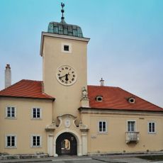
Former Rathaus, Mannersdorf am Leithagebirge
3.8 km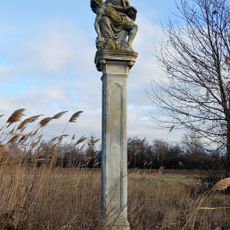
Figurenbildstock, sog. Bürzelnkreuz oder Piazollkreuz
1.1 km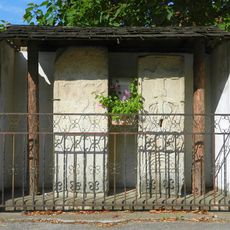
Zwei Grabplatten
1.1 km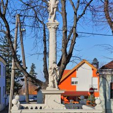
Pest-/Dreifaltigkeitssäule
3.7 km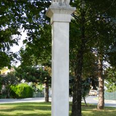
Figurenbildstock hl. Florian
1.1 km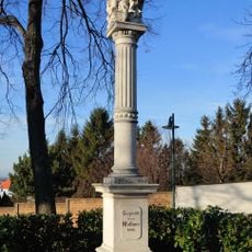
Figurenbildstock
4 km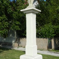
Figurenbildstock
1.1 km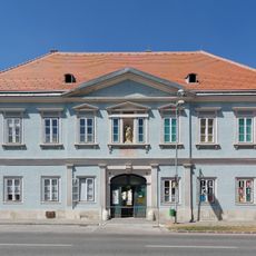
Wohnhaus, ehem. Schule
3.8 km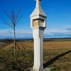
Leonardikreuz
3.3 km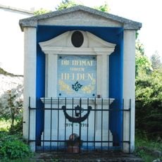
Kriegerdenkmal in Mannersdorf am Leithagebirge
4 km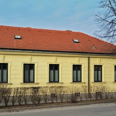
Adlerhaus
3.9 km
Gerichtsstöckl
3.7 kmReviews
Visited this place? Tap the stars to rate it and share your experience / photos with the community! Try now! You can cancel it anytime.
Discover hidden gems everywhere you go!
From secret cafés to breathtaking viewpoints, skip the crowded tourist spots and find places that match your style. Our app makes it easy with voice search, smart filtering, route optimization, and insider tips from travelers worldwide. Download now for the complete mobile experience.

A unique approach to discovering new places❞
— Le Figaro
All the places worth exploring❞
— France Info
A tailor-made excursion in just a few clicks❞
— 20 Minutes