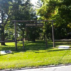
Peterborough, Administrative city in Ontario, Canada
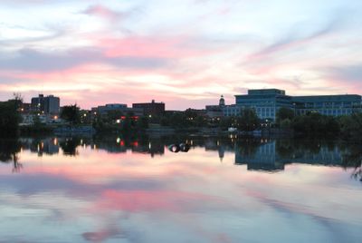
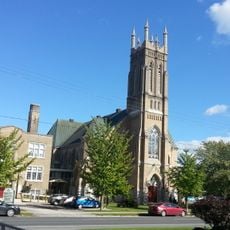
Peterborough is a city on the Otonabee River, roughly 77 miles (125 kilometers) northeast of Toronto in central Ontario. The city includes residential areas, commercial zones, and several educational institutions along the river and surrounding terrain.
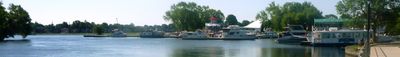
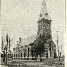
The settlement began in 1819 as Scott's Plains and later took its name from Peter Robinson, who oversaw early colonization efforts in the region. During the 19th century, the community grew into a regional center with connections to the canal system.
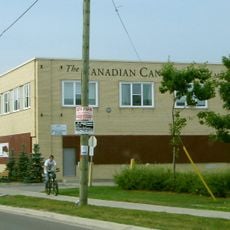
The Canadian Canoe Museum in Peterborough exhibits hundreds of watercraft and artifacts that represent the maritime traditions of different North American communities.
The public transit network offers bus routes linking residential neighborhoods with downtown, shopping areas, and educational institutions. The downtown area along the river is walkable, while outlying neighborhoods are accessible by bus or car.
The lock built in 1904 lifts boats nearly 65 feet (20 meters) over the Trent-Severn Waterway and is considered the tallest hydraulic lift lock on Earth. Visitors can watch the mechanism in action as vessels move between the two water levels.
Location: Ontario
Inception: 1819
Elevation above the sea: 195 m
Shares border with: Selwyn, Douro-Dummer, Otonabee–South Monaghan, Cavan Monaghan
Website: http://peterborough.ca
GPS coordinates: 44.30000,-78.31667
Latest update: December 15, 2025 14:36
Peterborough Lift Lock
1.5 km
Le musée canadien du canot
1.7 km
Riverview Park & Zoo
4.8 km
Peterborough Museum & Archives
1.3 kmArt Gallery of Peterborough
617 m
Market Hall Performing Arts Centre
473 m
Emmanuel United Church
1.1 kmThe Hastings and Prince Edward Regiment
1.1 km
St. Paul's Presbyterian Church
2.1 km
St. John the Evangelist Anglican Church
760 m
Sacred Heart Church
997 mJackson Creek Kiwanis Trail
5.7 kmThe Venue
367 mGordon Best Theatre
767 m
Former Post Office
533 mMark S. Burnham Provincial Park
3.8 km
544 McDonnel Street
1.8 kmRiverside Park Cultural Heritage Landscape
662 m
George Street United Church
1.1 km
St. Peter's Cathedral Centre
1 km
Morrow Building
857 mElizabeth Davidson House
1.1 km
285 George Street North
372 m
Pioneer Park
2.5 kmJohn C. Sullivan House
709 m
Grover-Nicholls House
1.1 km
Confederation Park
1.1 km478 Downie Street
1.3 kmVisited this place? Tap the stars to rate it and share your experience / photos with the community! Try now! You can cancel it anytime.
Discover hidden gems everywhere you go!
From secret cafés to breathtaking viewpoints, skip the crowded tourist spots and find places that match your style. Our app makes it easy with voice search, smart filtering, route optimization, and insider tips from travelers worldwide. Download now for the complete mobile experience.
A unique approach to discovering new places❞
— Le Figaro
All the places worth exploring❞
— France Info
A tailor-made excursion in just a few clicks❞
— 20 Minutes