Schlieren, municipality in Switzerland
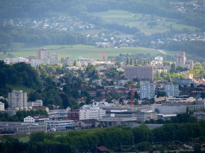
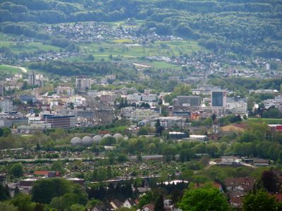
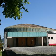
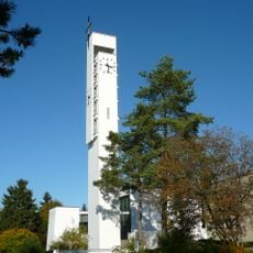
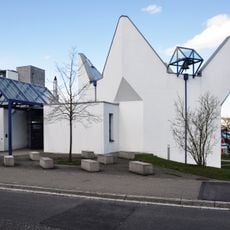
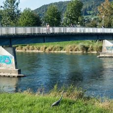
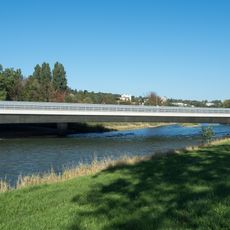
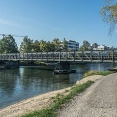
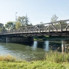
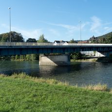
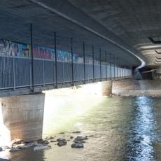
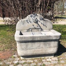
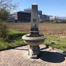
Schlieren is a municipality in Switzerland located in the Dietikon District with around twenty thousand residents. It sits in a valley near the Limmat River and displays a mix of urban structures including shops, residential buildings, and parks, all connected by busy streets where people move throughout the day.
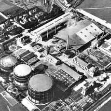
The settlement was first documented in 828 and belonged to the Habsburgs before becoming part of the Swiss Confederation in 1415. From a quiet village for centuries, Schlieren transformed starting in the late 1800s into an industrial town as factories appeared and rural people moved in seeking work.
The name comes from an old word describing the local soil. Today the city is home to residents from many countries, with nearly half being foreign nationals, creating a mix of languages and customs visible in daily neighborhood life.
The city has two train stations and is well connected to Zurich and surrounding towns by trains and buses, plus a new tram line since 2022 offering direct service. With frequent traffic on streets, it is helpful to plan walks through parks and residential neighborhoods for easier movement and a quieter experience.
In 1909 Schlieren hosted a major balloon race that drew thousands of spectators and became so crowded that trains and streets overflowed with visitors. The event shows the city has long held the ability to bring people together and create memorable gatherings.
The community of curious travelers
AroundUs brings together thousands of curated places, local tips, and hidden gems, enriched daily by 60,000 contributors worldwide.