
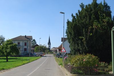
Birwinken, municipality in the canton of Thurgau, Switzerland
Location: Weinfelden District
Location: Thurgau
Elevation above the sea: 550 m
Shares border with: Berg, Bürglen, Erlen, Lengwil, Sulgen, Langrickenbach
Website: http://birwinken.ch
GPS coordinates: 47.58333,9.20000
Latest update: March 19, 2025 17:56
Château with St. Alban chapel
5.1 km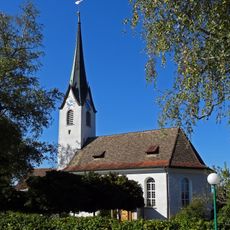
Reformed church
4.7 km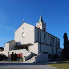
Katholische Kirche St. Mauritius
2.7 km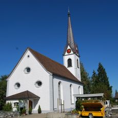
Reformed church
3.8 km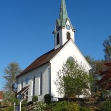
Reformed church
2.3 km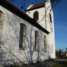
Reformed church
2.8 km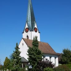
Evangelische Kirche Birwinken
223 m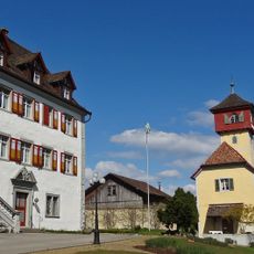
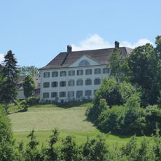
Schloss Berg
3 km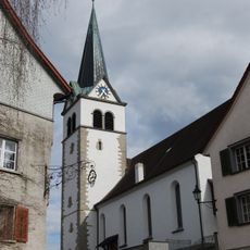
Reformed church
4.7 km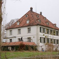
Lindenhof residential building
4 km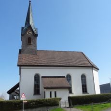
Kirche Illighausen
2.3 km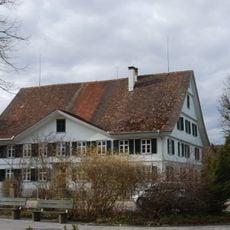
Hebron residential house
4.7 km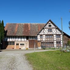
Former restaurant Traube
5.4 km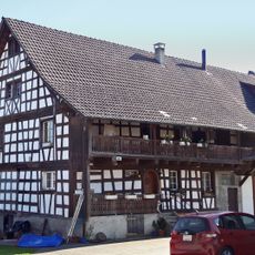
Haus Hauptstrasse 34 - 36, Birwinken
270 m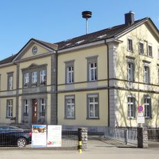
Primarschule Berg
2.6 km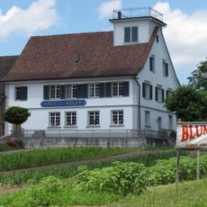
Zum Adler guest house
2.7 km
Schlosskapelle Berg
2.9 km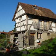
Former granary of the old mill
4.4 km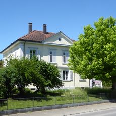
Wohnhaus Hauptstrasse 19
4.8 km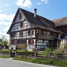
Farmhouse
1.9 km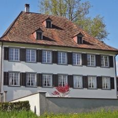
Landsitz Andhausen
1.6 km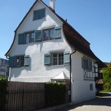
Zum Schäfli residential building
4.6 km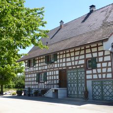
Farmhouse
5.5 km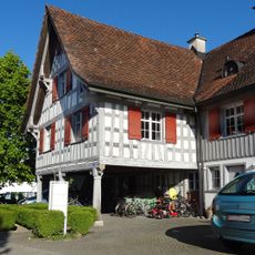
Former Rössli Inn
3.7 km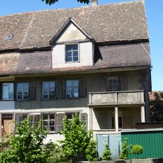
Altes Rössli residential building
4.6 km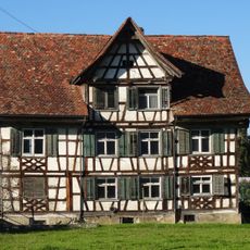
Farmhouse
5 km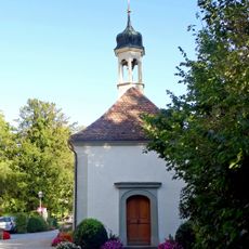
St. Anna chapel
5.1 km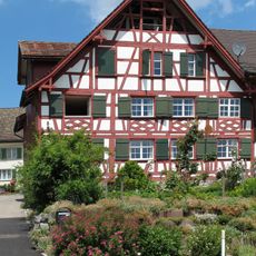
Farmhouse
2.7 kmVisited this place? Tap the stars to rate it and share your experience / photos with the community! Try now! You can cancel it anytime.
Discover hidden gems everywhere you go!
From secret cafés to breathtaking viewpoints, skip the crowded tourist spots and find places that match your style. Our app makes it easy with voice search, smart filtering, route optimization, and insider tips from travelers worldwide. Download now for the complete mobile experience.

A unique approach to discovering new places❞
— Le Figaro
All the places worth exploring❞
— France Info
A tailor-made excursion in just a few clicks❞
— 20 Minutes